
Standard visit
The tidal river on Pirojpur's western edge, the lower course of the Gorai-Madhumati system, flowing south past the Sundarbans to the Bay of Bengal.
The tidal river that marks Pirojpur's western border, best seen from the riverside ecopark near Pirojpur town.
Most of Bangladesh's southwest is shaped by a handful of big rivers, and the Baleshwar is the one that defines Pirojpur's western flank. It carries water that began in the Padma far to the north, and by the time it passes Pirojpur it is a broad, tidal channel heading for the mangroves. The easiest way to see it as a visitor is from the riverside park just outside Pirojpur town.
Banglapedia treats the Baleshwar as part of a single river system: it is the Gorai in its upper course and the Madhumati lower down, takes the name Baleshwar south of Mollahat, and becomes the Haringhata from the Bogi forest outpost in the Sundarbans. Wikipedia gives the Baleshwar stretch a length of 146 km, rising from the Kaliganga and flowing south into the Haringhata, which empties into the Bay of Bengal. Spellings on maps include Baleswar and Baleshwari.
The river separates Pirojpur from Bagerhat to the west. Within the district it splits in two, according to Wikipedia's Pirojpur entry: the Doratana branch runs through Bagerhat and the Kacha through Bhandaria, and the offshoot later rejoins the Doratana before falling into the Kaliganga near Mativanga in Nazirpur. Banglapedia's Rupsa-Pasur entry credits it with a large role in building the mature delta and notes that Bagerhat and Pirojpur rely on its yearly silt.
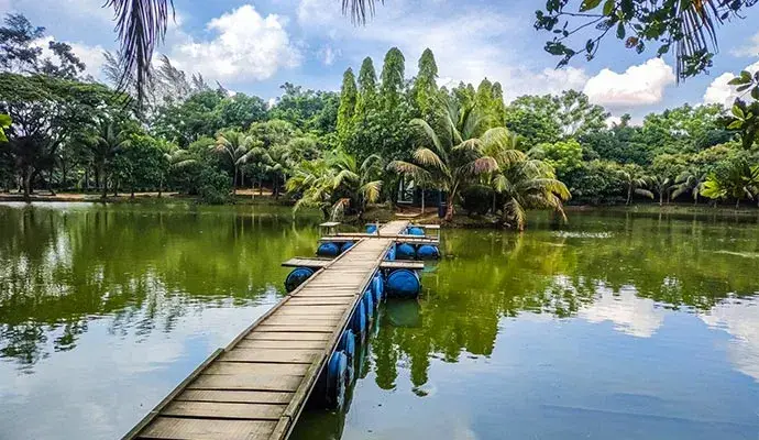
The Pirojpur Riverview Ecopark, known locally as DC Park, stands on the bank in Namazpur village, about 2.5 km from the district headquarters. Covering 2.54 hectares, it has a riverside road, a five-story watchtower and a lake with two wooden bridges, which makes it the most practical viewpoint for anyone without a boat.
Downstream, the river runs along the edge of the Sundarbans, and Wikipedia lists Bihanga Island in its channel. Living beside it is not always easy. The Daily Star reported in 2021 that thousands of people along the Kacha, Baleshwar, Sandhya and Kaliganga rivers in Pirojpur face flooding each monsoon, and that riverside villages in Pirojpur Sadar, Indurkani and Kawkhali upazilas take in tidal water every day.
Checked against trusted sources:
BanglapediaThe Daily StarThe Daily Observer
The tidal river on Pirojpur's western edge, the lower course of the Gorai-Madhumati system, flowing south past the Sundarbans to the Bay of Bengal.
Guided tours and experiences that include Baleshwar River (বলেশ্বর নদী), Pirojpur. See tours
Not confirmed yet. Please check with the venue before you visit.
Not confirmed yet. Please check with the venue before you visit.
Sun hat, water, shoes that grip on wet banks
Not confirmed yet. Please check with the venue before you visit.
Not confirmed yet. Please check with the venue before you visit.
Not confirmed yet. Please check with the venue before you visit.
Not confirmed yet. Please check with the venue before you visit.
Not confirmed yet. Please check with the venue before you visit.
No special events on record for Baleshwar River (বলেশ্বর নদী), Pirojpur.
Late afternoon light from the ecopark watchtower
Not confirmed yet. Please check with the venue before you visit.
November to February, outside the monsoon flood season
Others of this kind you opened on this device, so you can get back to them quickly.
No questions yet about Baleshwar River (বলেশ্বর নদী), Pirojpur. Ask the community or our travel team, and the answer will show here once it is published.
Our team answers questions here
Find your kind of trip: 34 travel themes, from Heritage, Mosque (Islam), Lakes & Haors.
 Heritage
Mosque (Islam)
 Lakes & Haors
 Landmarks
 Palaces
Museums
 Hills
 Waterfalls
 Forests
 Monument
National Parks
 Beaches
 Entertainment Parks
 Bridges & Barrages
Islands
 Wildlife (Zoo)
 Forts
Kids Zone
 Parks
Art Galleries
 Libraries
 Education
 Temple
UNESCO World Heritage
Church (Christianity)
 Theme Parks
 Botanical Gardens
Statue
Floating Market
 Mountains
Shopping Malls
Weekend Market
 Caves
Theaters
More sights and places to visit in Bangladesh, nearest first.
Pirojpur
For decades, anyone driving between Barishal and Khulna divisions through Pirojpur had to stop at the Kocha River and wait for the Bekutia to Kumirmara ferry. T...
Patuakhali
Payra is the newest of Bangladesh's three seaports, after Chattogram and Mongla. It lies on the west bank of the Rabnabad Channel in Kalapara upazila, not far f...
Narayanganj
Banglar Taj Mahal is exactly what the name promises: a white-domed copy of the Agra mausoleum, standing in the village of Perab in Jampur Union, Sonargaon. It w...
Narsingdi
Chinadi Beel is a working wetland first and a day-trip spot second. Fishing families from the surrounding villages of Dulalpur union set seine nets and gill net...
Netrokona
The Someshwari starts life in India as the Simsang, rising in the Nokrek range of Meghalaya's Garo Hills, and takes its Bangla name once it reaches the plains a...
Bandarban
Most peaks in the Bandarban hills end in a point or a narrow ridge. Kapital, written কপিতাল in Bangla and often spelled Kopital or Capital Peak in English, is d...
Bandarban
Thingdawl Te Tlang is a peak for people who like the walk more than the view. There is no road, no viewing deck and no sign at the top, only bamboo forest, jhum...
Netrokona
At the foot of a hill in Phulbari, a village in Lengura Union of Kalmakanda, lie the fighters who died in one of the hardest days of the 1971 Liberation War in...
Panchagarh
Boda, the largest upazila in Panchagarh, takes its name from this temple, according to Wikipedia's entry on the upazila. The shrine stands beside the Karatoya R...
Tell us where and when you want to go, and local travel experts send you offers for your trip.
General
Yes. Baleshwar, Baleswar, Baleshwari and Baleswari are all spellings used for the same river.
Besides Pirojpur, it forms part of the eastern border of Bagerhat and the western border of Barguna, according to Wikipedia.
Banglapedia says the diversion of Gorai water into the Pasur is causing the Baleshwar to decay.
No scheduled tourist boat service on the river has been published. Arrange any trip with local boat operators and check the tide first.
Pirojpur's main launch station, Hularhat, about 5 km east of town, sits on the Kaliganga rather than the Baleshwar.
In December 2024 the Daily Observer quoted the Water Development Board's Pirojpur executive engineer saying basin surveys of the Sandha and Baleshwar rivers were ongoing, with a development project proposal to follow.
The Pirojpur Deputy Commissioner's office took it over in 2014, which is why locals call it DC Park. A 2015 development project was funded by the Climate Change Trust Fund.
Artificial waterfalls, small man-made hills, gardens and swings.
Baleshwar River (বলেশ্বর নদী), Pirojpur is in Pirojpur, Bangladesh. The street address and directions are under How to get there on this page.
Explore the area on this page lists 5 places around Baleshwar River (বলেশ্বর নদী), Pirojpur, with the distance to each.
Prices & payment
No. The river itself is open to all. Fees at the riverside ecopark are not published.
Timing & weather
The Forest Department dates it to 2010, though Wikipedia notes that former Deputy Commissioner Monsur Raja Chowdhury started the effort in 2007.
Plan about 1.5 hour (90 minutes) at Baleshwar River (বলেশ্বর নদী), Pirojpur. Typical visit: 1 to 2 hours at a riverside viewpoint.
The best months to visit Baleshwar River (বলেশ্বর নদী), Pirojpur are November to February. The best days and times of day are covered under When to visit on this page.
Getting there
Barishal Airport (BZL) is the airport for Baleshwar River (বলেশ্বর নদী), Pirojpur, about 33 km away in a straight line.
We use necessary cookies to make this site work. With your permission we would also like to remember your preferences, measure how the site is used, and show relevant ads and partner offers. You can change your mind at any time under "Cookie settings" on our Privacy policy page.
