

Netrokona travel guide
China-clay hills, the Someshwari River and Garo culture at Birishiri.
Netrokona, in northern Bangladesh, is best known for Birishiri and Durgapur on the Indian border: the Someshwari River, the china-clay hills of Bijoypur with their blue-green lakes, and Garo and Hajong culture. The south of the district has haor wetlands. Allow 1 to 2 days, preferably between November and February. Travel costs are minimal, and only some passports get a visa on arrival.
Netrokona is a district in northern Bangladesh, in Mymensingh Division, stretching from the haor wetlands in the south to the Garo Hills on the Indian border. Its best-known area is Birishiri in Durgapur upazila, with the clear Someshwari River, the white china-clay hills of Bijoypur with their blue-green lakes, and the cultural heritage of the Garo and Hajong peoples.
Netrokona is reached by train or road from Dhaka via Mymensingh. The dry season from November to February is the most comfortable time to visit, while the monsoon fills the haors in the south of the district.
Best experiences in Netrokona
Find your kind of trip: 24 travel themes, each with the packages in Netrokona.
 Ayurveda Tours
Seasonal/Event
 Adventure
Wildlife & Safaris
Pilgrimage
Eco/Nature
Culture & History
 Honeymoon
 Romantic Getaway
 Cruise
 Water Activities
 Backpacking
 Luxury
 Photography
City Slickers
Heritage
 Beach & Relaxation
 Sports & Recreation
 Food & Wine
Train & River Journeys
Skiing
 Overland
Netrokona at a glance
Climate, budget, language and basics for a district stretching from border hills to wetlands.
Top destinations in Netrokona
Pick a place by travel style: beaches, nature, cities, heritage, hills, islands.
 DhakaCapital & chaos
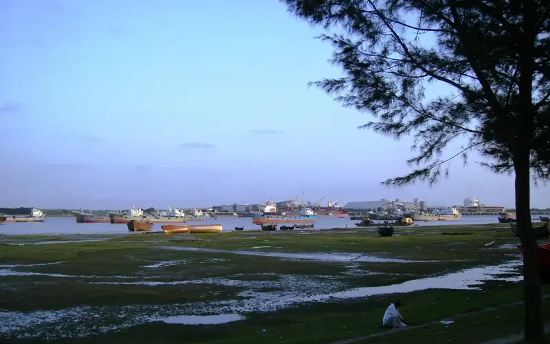 ChattogramPort city and gateway to the hills
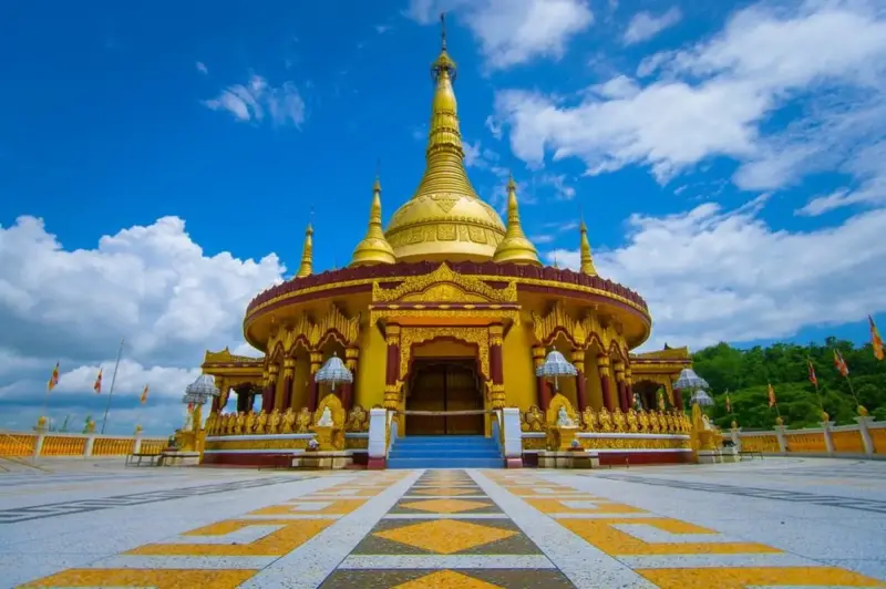 BandarbanThe highest hills in Bangladesh
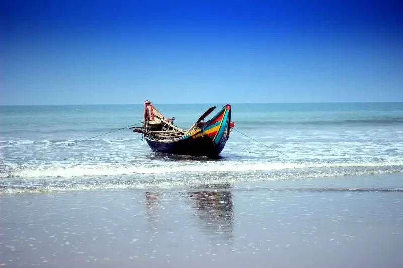 Cox's BazarOver 100 km of sea beach
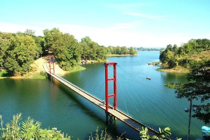 RangamatiKaptai Lake and the hills
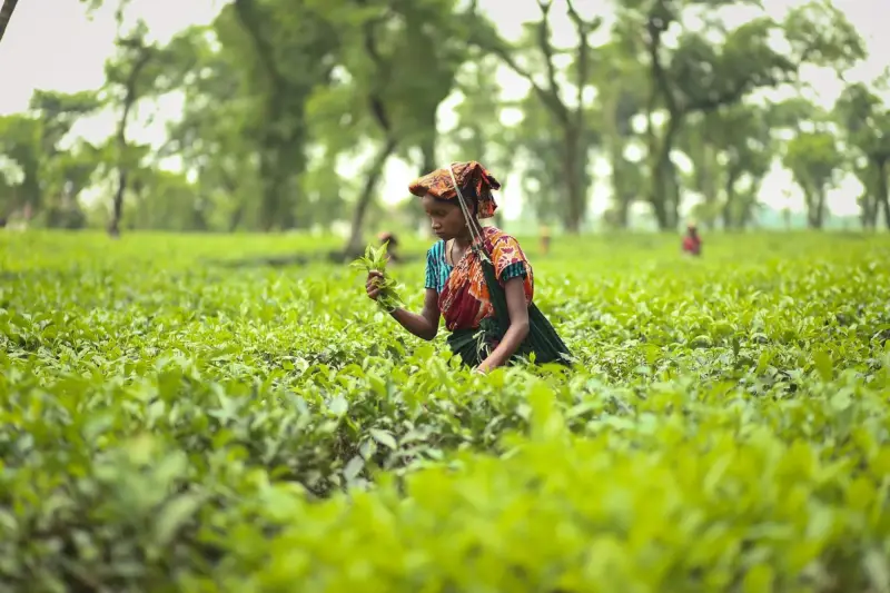 SylhetTea gardens and swamp forest
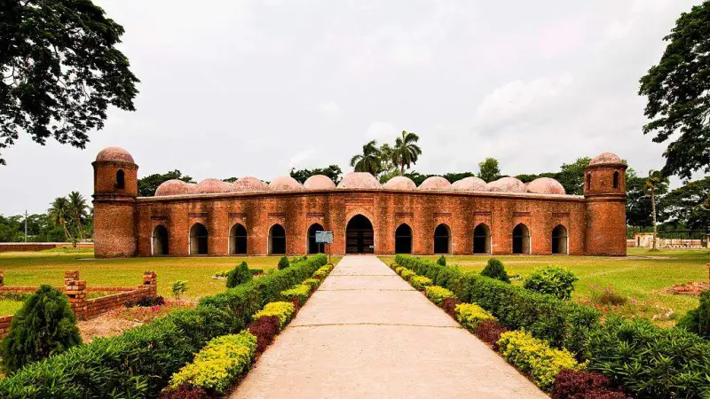 BagerhatMosque City and Sundarbans gateway
MoulvibazarSrimangal tea country
 KhulnaGateway to the Sundarbans
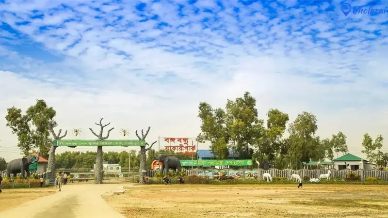 GazipurForests next to Dhaka
 NarayanganjSonargaon and Panam Nagar
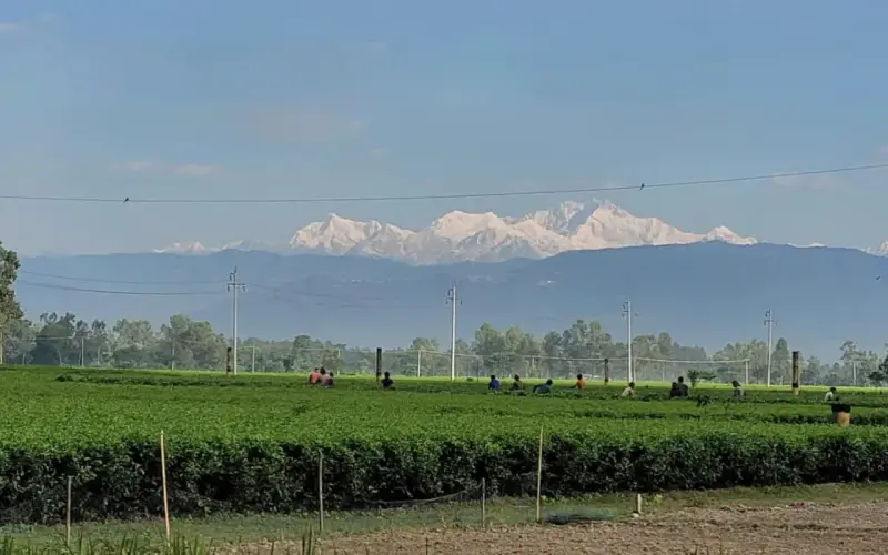 PanchagarhKanchenjunga views from Tetulia
ThakurgaonThe giant mango tree
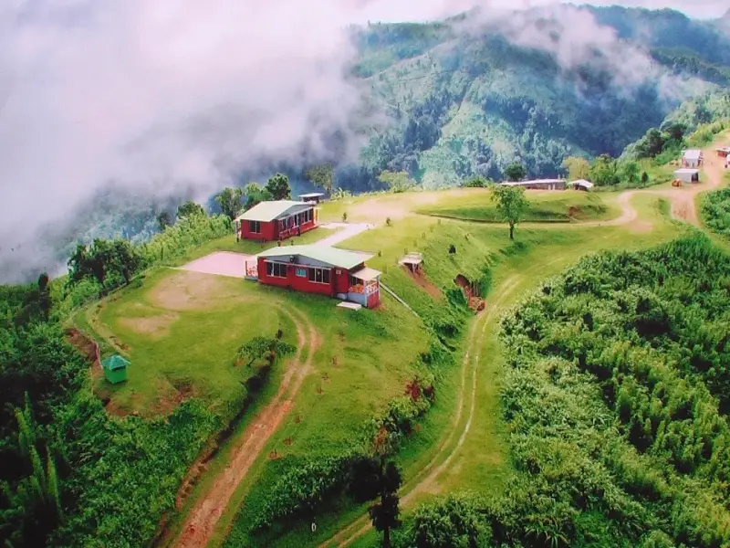 KhagrachhariCaves, falls and the road to Sajek
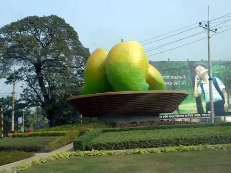 RajshahiSilk, mangoes and the Padma
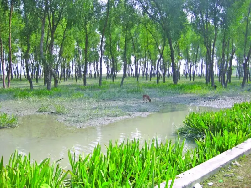 BargunaCoastal forests and quiet beaches
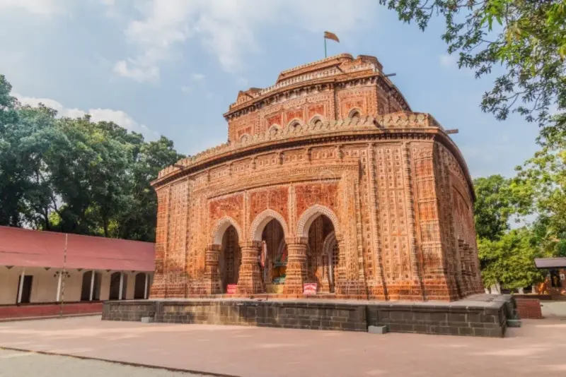 DinajpurKantajew Temple
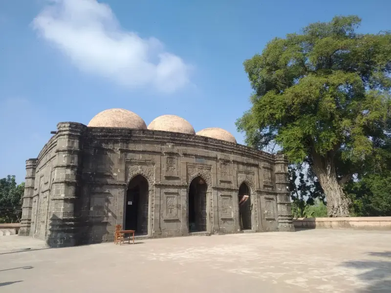 NaogaonPaharpur's great monastery
 PatuakhaliKuakata, daughter of the sea
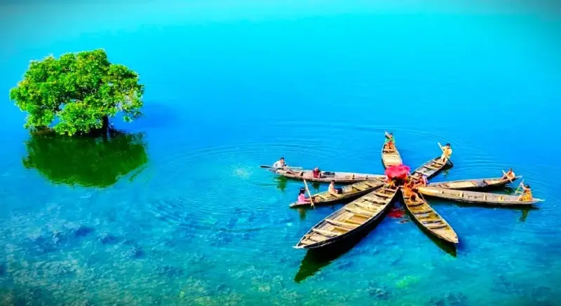 SunamganjThe haor wetlands
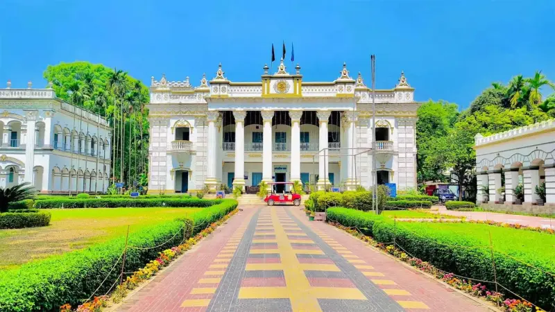 TangailSaris, sweets and Atia Mosque
Chapai NawabganjGaur and the mango capital
HabiganjForests and tea estates
NilphamariSaidpur and Nilsagar
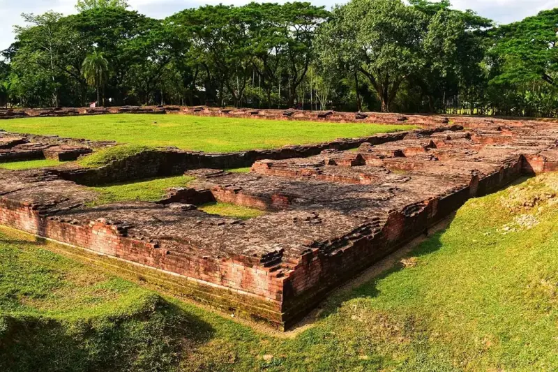 BograAncient Mahasthangarh
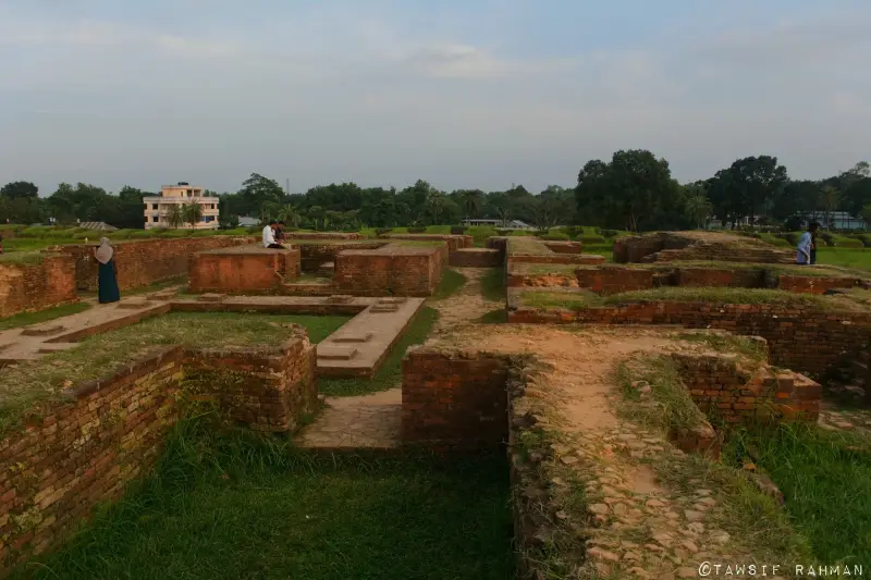 ComillaMainamati ruins
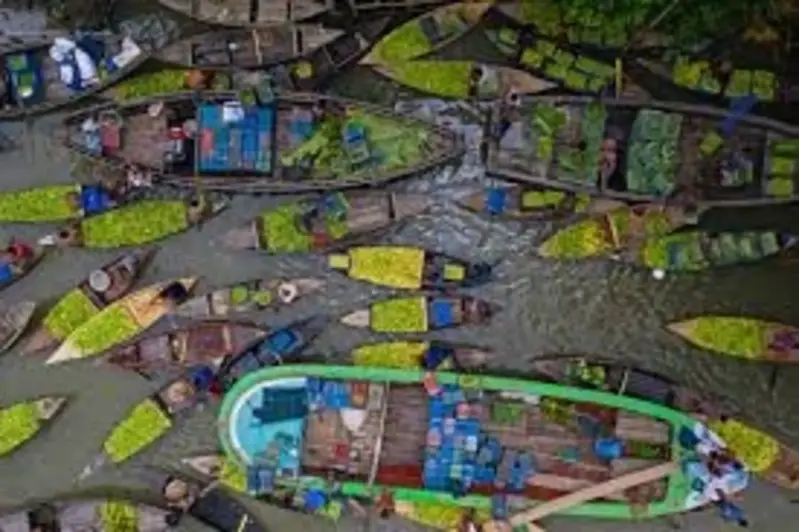 JhalokatiFloating guava markets
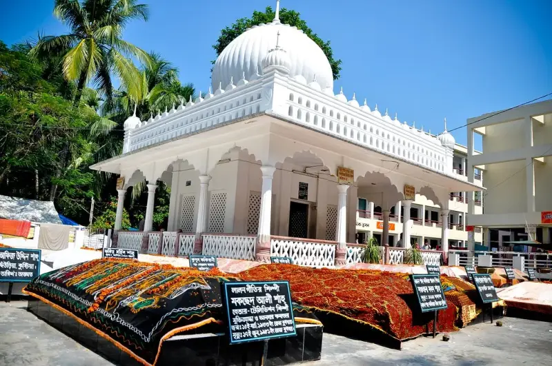 KushtiaLalon and Tagore
 LalmonirhatTeesta Barrage and Tin Bigha
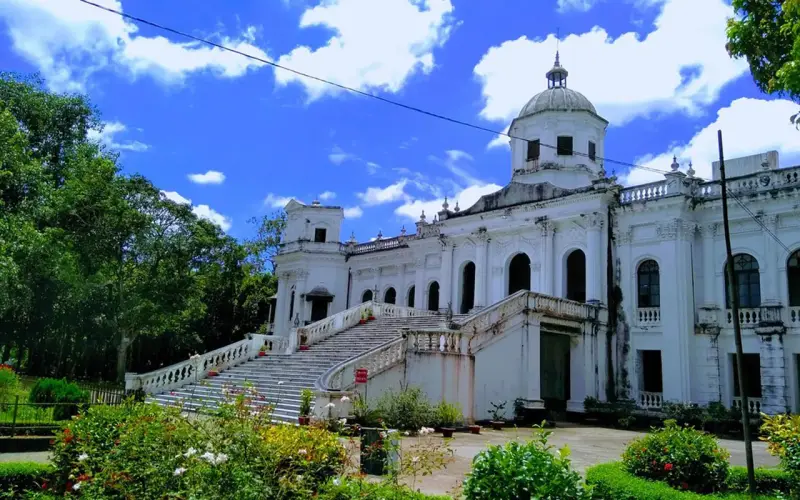 RangpurPalaces of the north
MunshiganjHistoric Bikrampur
SatkhiraWestern Sundarbans
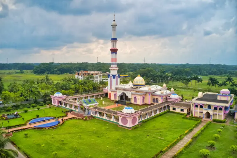 BarishalVenice of Bengal
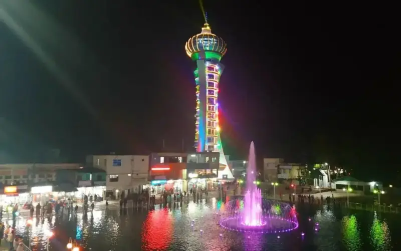 BholaBangladesh's largest island
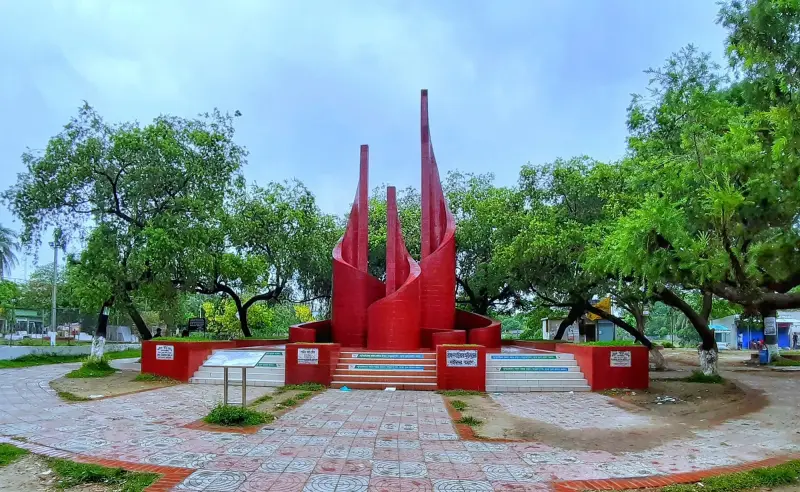 BrahmanbariaThe Titas and Akhaura
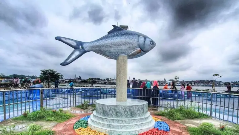 ChandpurCity of hilsa
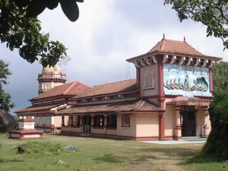 FaridpurPoet Jasimuddin's home
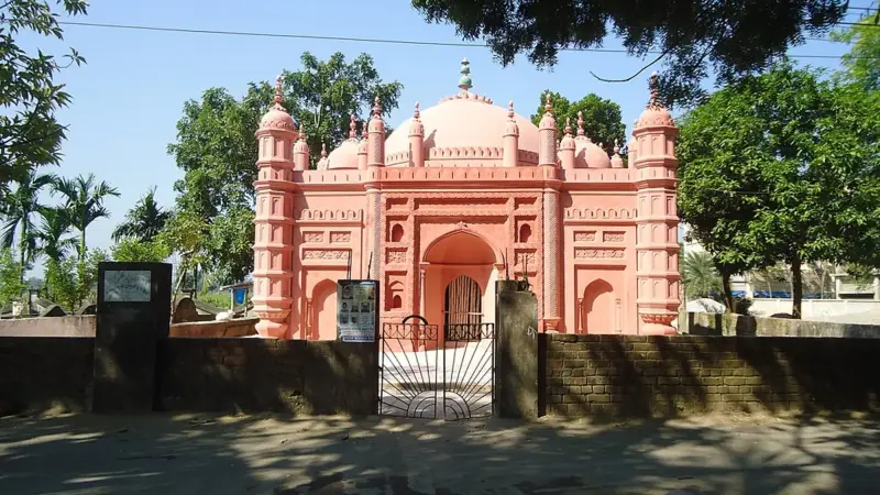 FeniMuhuri Project
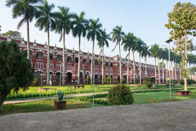 JashoreFlowers and Benapole
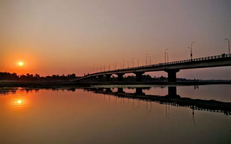 KurigramRivers and char islands
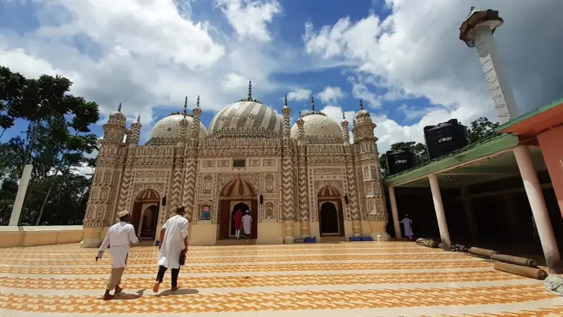 LakshmipurMeghna estuary
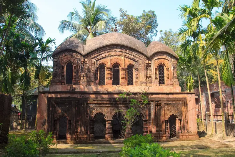 MadaripurRivers near the Padma Bridge
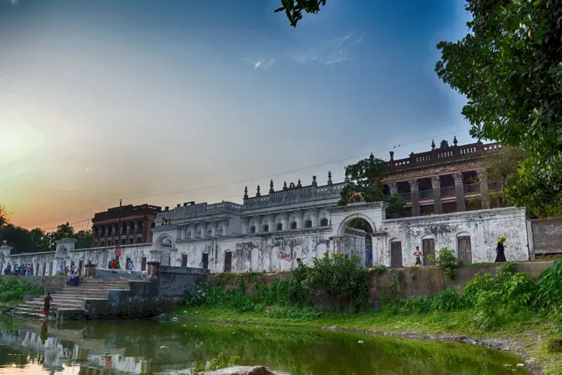 ManikganjZamindar palaces
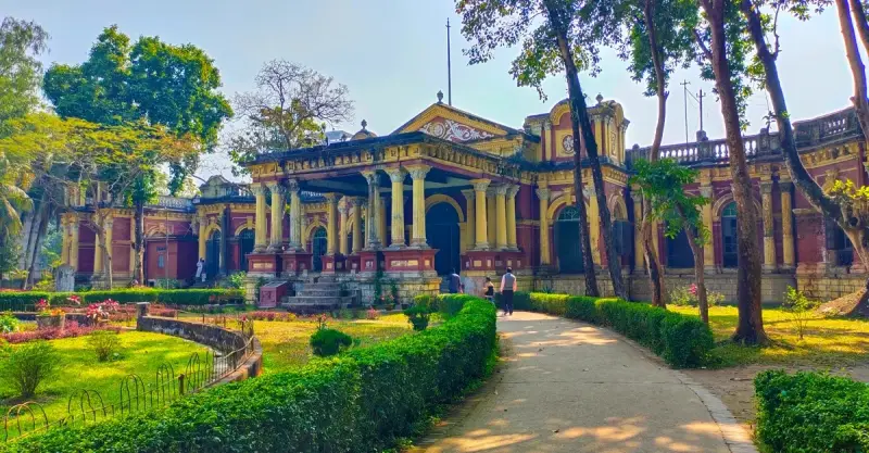 MymensinghRiver city of art and palaces
 NoakhaliNijhum Dwip
 PabnaBridges over the Padma
 PirojpurFloating markets of Swarupkathi
 SirajganjJamuna and Tagore's Shahzadpur
ChowmuhaniNoakhali's market town
ChuadangaDarshana border
GaibandhaTeesta and Brahmaputra chars
GopalganjTungipara and Orakandi
JamalpurBrahmaputra and nakshi kantha
JhenaidahAncient mosques of Barobazar
JoypurhatGateway to Paharpur
KaliakairFactory town on the Tangail road
KishoreganjHaors and Sholakia
KuakataDaughter of the sea
MaguraRaja Sitaram's ruins
MeherpurMujibnagar Memorial
NarailS. M. Sultan's Chitra
NarsingdiAncient Wari-Bateshwar
NatorePalaces and Chalan Beel
RajbariGoalanda and the Padma ferries
Saint Martin's IslandBangladesh's only coral island
SavarHome of the Martyrs' Memorial
ShariatpurThe Padma Bridge's south end
SherpurGaro Hills foothills
SiddhirganjBangladesh's old jute town
Sreemangal UpazilaBangladesh's tea capital
SreepurGateway to the Bhawal forest
TaraboRiver town on the Sylhet road
TongiDhaka's northern gateway
Nothing in that category yet.
Top things to do in Netrokona
Sights and day trips around Netrokona.
No things to do in Netrokona are listed yet. Browse all things to do
Best time to visit Netrokona
Walkable riverbanks and Someshwari sandbars from November, boat rides and flooded haors once the monsoon arrives.
Dry, mild and clear: the most comfortable months for travel.
Hot and humid, with sudden evening storms (kalbaishakhi).
Heavy rain, rising rivers and green countryside; roads and ferries can be disrupted.
Avoid travelling in the days before and after the two Eid holidays, when buses, trains and launches out of Dhaka sell out.
Packages in Demand
A Journey to Remember
Tours, activities and day trips in and around this destination, with the details you need before booking.
No packages in Netrokona are listed yet. Browse all packages
Create Your Custom-Made Trip to Netrokona
Traveling to Netrokona? Chat with a Local Travel Specialist in Netrokona Who Can Help Organize Your Trip.
START HERE
Our Travel Experts are Recommended by



Netrokona travel tips
Visas, money, health, safety and where to sleep near Durgapur and Birishiri.
Visas and entry
Bangladesh entry rules
Birishiri and Durgapur sit on the Indian border near Meghalaya, where border-area rules apply on top of the Bangladesh visa. That visa is normally arranged in advance, and passports need six months' validity.
- Passport validity
- At least 6 months beyond arrival
- Confirm with
- Your nearest Bangladesh embassy or high commission
Getting there
Getting there
Take the overnight Haor Express from Dhaka's Kamalapur at 11:50 pm, or the daytime Mohanganj Express, then continue by road, about 5 to 6 hours in total to Birishiri. Buses from Dhaka's Mohakhali reach Durgapur directly in about 5 hours. The closest airport is Hazrat Shahjalal International in Dhaka.
- Nearest airport
- Hazrat Shahjalal International, Dhaka (DAC)
- In Durgapur, electric rickshaws link the sights and boats cross the Someshwari.
- The Haor Express leaves Dhaka's Kamalapur station at 11:50 pm every night and runs through Mymensingh to Netrokona and on to Mohanganj, so you wake up in the district.
- For Birishiri, the direct road is simpler.
- If you come by train, change in Netrokona or Mymensingh to a bus or hired vehicle for the last leg north.
- Up in Durgapur, electric rickshaws are the standard way to get between Birishiri, the river and the clay hills, and boats carry you across and along the Someshwari.
- Expect dust and rough surfaces, not smooth tarmac.
- Mohanganj also connects by water. Waterways link it with Sylhet, Bhairab Bazar and Dhaka, a slow option for travellers with time to spare.
Money and costs
Cash is king
Boats on the Someshwari, rickshaws to the china-clay hills and Birishiri guesthouses are paid in cash. Before Birishiri, Netrokona town is the last convenient place to withdraw.
- Birishiri guesthouses want cash from Netrokona's ATMs.
- Agree boat and rickshaw fares first.
Health and vaccines
Water and mosquitoes
Someshwari River trips and the clay hills call for water by day and repellent in the monsoon. Mymensingh or Dhaka receive Netrokona's serious cases, so bring medicines and evacuation insurance.
- Hospitals
- Government district hospital in each district town
Staying safe
Roads and strikes
Netrokona is calm for visitors. Respect border-area rules near Durgapur, travel roads by day and check for hartals. Call 999 if needed.
- Emergency number
- 999
- Follow border-area rules near Durgapur.
- Travel by day.
Where to stay
Simple town hotels
Stay in Durgapur upazila near Birishiri, not in Netrokona town, since the sights lie on the northern frontier; places to stay are few, so book before leaving Dhaka or Mymensingh. Netrokona town has simple hotels and government rest houses. Guesthouses fill at Eid; make a reservation before you go.
- Base
- Netrokona town
Getting around
Rickshaws, CNGs, car
Use electric rickshaws to move between Birishiri, the Someshwari and the clay hills, and boats to cross and travel along the river; agree fares first. Sand trucks have damaged local roads, so allow extra time. A car with driver from Mymensingh fits the area into one long day.
- Tip
- Agree fares before you set off
SIM and internet
Buy before you leave the city
Near the border at Birishiri and Durgapur, Grameenphone has the widest coverage. Before the Haor Express, sort a SIM in Dhaka with your passport.
- Networks
- Grameenphone, Robi, Banglalink, Teletalk
Culture and etiquette
Rural and conservative
Garo and Hajong communities live around Birishiri, with a Catholic church and mission school at Ranikhong, alongside Bengali villages. Each place of worship has its own customs, so remove shoes when asked, dress modestly and ask before photographing anyone. Bengali villages keep the Ramadan fast; avoid public eating there by day.
- Dress modestly, covering shoulders and knees
- Remove shoes at mosques, temples and homes
- Accept tea when offered
- Photographing women without asking
- Eating in public in daylight during Ramadan
Things to know before visiting Netrokona
Birishiri, the blue-green china-clay lakes of Bijoypur and Garo and Hajong culture.
Why travelers love it
- Bijoypur china-clay hills and their blue-green lakes.
- The Someshwari River at Birishiri.
- Garo and Hajong culture, with a cultural academy at Birishiri.
- Haor wetlands in the south.
Good to know
- Border areas have restricted zones.
- Facilities are simple.
- Monsoon floods the haors and some roads.
Trip fit
BookingMentor editorial ratings out of 5, based on a first-time visitor's experience.
Tangail weather by month
The monsoon turns Netrokona's Someshwari from winter sandbars into a full river and floods the Mohanganj haor, with July rain near 331 mm. Tangail station figures are listed for each month.
Climate figures are approximate long-term averages for Tangail, the nearest station with published long-term data (NOAA / Bangladesh Meteorological Department 1991–2020 normals, via Wikipedia).
The Someshwari sandbars, Bijoypur clay hills and Birishiri
Plan two days in Durgapur, on Netrokona's northern frontier, and sleep there, not in the district town. On the first afternoon, cross the Someshwari and walk the Bijoypur china-clay workings and their blue-green pits. On the second, visit Birishiri's Tribal Cultural Academy, the Ranikhong mission and the Tonk movement memorial. A third day suits Mohanganj.
Two days in Durgapur divide neatly between the Someshwari sandbars and the clay pits at Bijoypur.
Skip the district seat itself: the reason to come lies on the northern frontier. Durgapur upazila holds Birishiri, the Someshwari and the clay hills along the Meghalaya border. Sleep up there, not in town, and settle your bed before you leave Dhaka or Mymensingh, because places to stay are few.
- One day only: manageable from Mymensingh, or from Dhaka if you set off before dawn. It leaves time for the river and the clay hills and nothing else.
- Two days: on the first afternoon, cross the Someshwari and walk the Bijoypur clay workings. Climb the low china-clay hill for the view over the green plain. Afterwards walk down to the flooded pits; their water turns blue and green after rain. Keep the second day for Birishiri itself. Start at the Tribal Cultural Academy before visiting the Catholic church and mission school at Ranikhong. Finish with the Hajong Mata Rashimoni monument and the statue to the Tonk movement of 1942–43.
- A third day: head south to Mohanganj, the market town of the haor wetlands, or east to Kalmakanda for Chandradinga and the tomb of seven freedom fighters.
Allow more time on the road than the map suggests. Trucks hauling wet sand off the Someshwari riverbed have chewed up the local roads, and a short hop can take far longer than its distance implies.
Slow local trains also shuttle between Mymensingh Junction and Netrokona. A car with driver from Mymensingh is the easy answer if you want to squeeze the area into a single long day. Our Sunamganj guide picks up the haor country further east.
Walkable sandbars in winter or boats and haor floods in the rains
Netrokona gives two different trips. From November to February the Someshwari shrinks into walkable sandbars, clay-hill trails stay firm and January nights fall to about 13°C. In the monsoon the river is best by boat, the clay pits turn blue-green and the Mohanganj haor floods to the horizon, with July near 331 mm.
Few corners of the country give you two such different trips in the dry months and the rains. Between November and February the Someshwari drops and shrinks back from its banks. Long stretches of clean sand appear that you can walk along, the trails to the clay hill stay firm, and January nights fall to around 13°C, so pack a jacket for the evening.
The monsoon turns that river into the main event. With the Someshwari full, boat rides are at their best, and rain sharpens the blue and green of the clay-pit water at Bijoypur. The cost is mud and heat: April and May afternoons reach about 34°C, and July delivers some 331 mm of rain at the nearest long-term station.
Down in the southeast, the monsoon remakes the map. The low country around Mohanganj fills up and becomes haor, a seasonal wetland that stretches to the horizon. That is the season to see the haor at its widest; by winter the water recedes into fields and channels.
Plan around the border too. Land along the Meghalaya frontier sits under security rules that can change at short notice, so ask locally before walking far towards the hills in any season.
Garo and Hajong heritage, Mohanganj shutki and mission manners
Durgapur is home to about 8,500 Garo and 1,800 Hajong people; the Garo Baptist Convention Centre and Rashimoni Ranikhong Catholic Church are working churches, so dress accordingly and ask before photographing. Food up north is plain, mostly from your lodging, while Mohanganj's haor markets sell fresh fish and heaps of shutki, dried fish.
Durgapur upazila is home to about 8,500 Garo and 1,800 Hajong people, and their presence shapes a visit more than any monument. Christian missions have deep roots here. The Garo Baptist Convention Centre and the Rashimoni Ranikhong Catholic Church are working places of worship, not museums, so arrive during the day, dress as you would for any church and ask before photographing people or services.
The Hajong story is the one most outsiders miss. The Tonk movement was an armed Hajong struggle for land rights at the close of British rule, and the memorial in Durgapur honours those who died in it. Rashimoni, remembered as Hajong Mata, has her own monument nearby. A local guide or a staff member at the Tribal Cultural Academy can explain both far better than any signboard.
Words and songs carry the culture as much as buildings do. Banglapedia lists Garo proverbs and Hajong rhymes among the district's folk forms. Baul songs belong here too, as do the old ballads of the Maimansingha Gitika.
Food is plain up north, and meals mostly come from wherever you stay. The richer table is in the haor: fishing supports much of Mohanganj, whose markets sell fresh catch alongside heaps of dried fish. Dried fish, shutki in Bangla, is the thing to look for there.
Travelers are asking
The china-clay hills and lakes at Bijoypur, the Someshwari River and Garo culture.
Our travel desk answers questions about Netrokona
How we research this guide
Haor Express timings, border-area rules near Meghalaya and the road to Durgapur are tracked for Netrokona, with Tangail station data and Bangladesh National Portal facts.
Last updated . Spotted something out of date? Tell us.
Checked against trusted sources:
Bangladesh Meteorological DepartmentBangladesh National Portal

Before You Go...
Discover Trips & Info
A Travel Network Connection Travelers and locals
Incredible Event & Festival, Don't Miss!
Most Popular Event & Festival of Netrokona
Festivals and events in this destination, with dates, venues and ticket details where available.
No upcoming festivals or events in Netrokona are listed right now. Browse all events
Memorable Experiences
Where to Go (& NOT Go) In Netrokona!
Roaming the World one Adventure at a Time: Travel Tales, Tips, and Inspiration for wanderlusters.
Subscriber
Popular car hire destinations
Explore more options to hire a car for cheap
Frequently Asked Questions (FAQs)
Birishiri, the Haor Express and border-area rules.
Timing & weather
November to February, when the weather is dry and mild. The monsoon from June to September brings heavy rain.
It leaves Dhaka's Kamalapur at 11:50 pm every night for Netrokona and Mohanganj; the Mohanganj Express leaves at 2:20 pm.
In the monsoon, when the low country around Mohanganj becomes a wetland stretching to the horizon; in winter it recedes to fields.
April is the warmest month in Netrokona, with average highs of 34°C, and January the coolest, with lows of 13°C. July is the wettest month, at about 331 mm of rain; January is the driest. The monsoon turns Netrokona's Someshwari from winter sandbars into a full river and floods the Mohanganj haor, with July rain near 331 mm.
Getting there
Take a train or bus from Dhaka to Mymensingh or Netrokona, then continue by road to Birishiri (about 5–6 hours in total).
Take a bus from Mohakhali Inter City Bus Terminal straight to Durgapur, about 5 hours, or a train to Netrokona or Mymensingh and a bus for the last leg.
General
Netrokona is known for the Bijoypur china-clay hills, the Someshwari River, Garo and Hajong culture at Birishiri and the haor wetlands around Mohanganj.
China-clay workings across the Someshwari in Durgapur, where flooded pits turn blue and green after rain and a low hill gives views over the plain.
An armed Hajong struggle for land rights in 1942 to 1943, at the close of British rule, remembered by a memorial in Durgapur and the Hajong Mata Rashimoni monument.
Yes, by day: the Garo Baptist Convention Centre and Rashimoni Ranikhong Catholic Church are working places of worship, so dress modestly and ask before photographing.
Use electric rickshaws to move between Birishiri, the Someshwari and the clay hills, and boats to cross and travel along the river; agree fares first. Sand trucks have damaged local roads, so allow extra time. A car with driver from Mymensingh fits the area into one long day.
Health & safety
Border land sits under security rules that can change at short notice, so ask locally before walking far towards the hills.
Booking
Allow 1 to 2 days, preferably between November and February.
Prices & payment
Daily travel costs in Netrokona are very good value. Simple hotels outside the big cities.
Visa & documents
Birishiri and Durgapur sit on the Indian border near Meghalaya, where border-area rules apply on top of the Bangladesh visa. That visa is normally arranged in advance, and passports need six months' validity.

 Plan your trip with AI