
Standard visit
A remote summit in the Chittagong Hill Tracts with no road or facilities, climbed only on a long guided day trek through streams and bamboo forest.
A remote, roadless summit reached only on a long guided trek, best left to fit and experienced hikers.
Dumlong is the highest peak in Rangamati Hill District and one of only three summits in Bangladesh that rise above 1,000 meters. There is no road, signpost or facility anywhere near the top. Wikipedia lists it at 1,010 meters.
Nobody has settled the exact height. A Nature Adventure Club team measured 3,314 feet with a Garmin GPS in 2011, and a Travelers of Bangladesh group led by Zaqiul Deep logged 3,312 feet a few months later. Those readings are why some climbers call it the country's second-highest mountain, a claim that remains unconfirmed.
Most people do not start in Rangamati at all. In a 2022 account for The Business Standard, Farid Farabi describes leaving Sepru Para, a village on the Bandarban side, well before dawn, crossing Maithaizama Hafong and following a stream bed before a steep pitch that his group climbed with the help of a long bamboo pole. They topped out on Maithaizama Hill at about 8:45 am, pushed on along a slippery ridge and stood on Dumlong around noon. The descent took the rest of the day, and they walked back into the village at roughly 8 pm.
That makes for a very long day on faint paths through dense bamboo, so this summit suits fit, experienced trekkers only. His team hired a guide from the village headman's family.
Farabi's trip ran in the monsoon, around June or July 2021, when cloud, rain and drizzle turned the trail to mud and rising streams became a real concern. Anyone planning the route should line up a local guide in the base village, carry all the water and food they need for the day, and confirm the current rules for visiting the Chittagong Hill Tracts with the authorities or a licensed operator before setting out, since access to remote border areas is controlled.
Checked against trusted sources:
The Business Standard, Scaling the Dumlong peak
A remote summit in the Chittagong Hill Tracts with no road or facilities, climbed only on a long guided day trek through streams and bamboo forest.
Guided tours and experiences that include Dumlong Peak (ডুমলং), Rangamati. See tours
Not accessible for wheelchairs or anyone with limited mobility: the route follows streams, steep muddy slopes and overgrown ridges with no built path.
Not confirmed yet. Please check with the venue before you visit.
Headlamp, ample water, food for the day, insect repellent, rain cover, ID
Trekking shoes with strong grip and quick-drying clothes
Not confirmed yet. Please check with the venue before you visit.
Not confirmed yet. Please check with the venue before you visit.
No road reaches the mountain. Travelers go by road to Ruma upazila in Bandarban, then continue to the trailhead and walk the rest of the way.
Not confirmed yet. Please check with the venue before you visit.
No special events on record for Dumlong Peak (ডুমলং), Rangamati.
Leave the base village well before dawn
Not confirmed yet. Please check with the venue before you visit.
Not confirmed yet. Please check with the venue before you visit.
Others of this kind you opened on this device, so you can get back to them quickly.
No questions yet about Dumlong Peak (ডুমলং), Rangamati. Ask the community or our travel team, and the answer will show here once it is published.
Our team answers questions here
Find your kind of trip: 34 travel themes, from Heritage, Mosque (Islam), Lakes & Haors.
 Heritage
Mosque (Islam)
 Lakes & Haors
 Landmarks
 Palaces
Museums
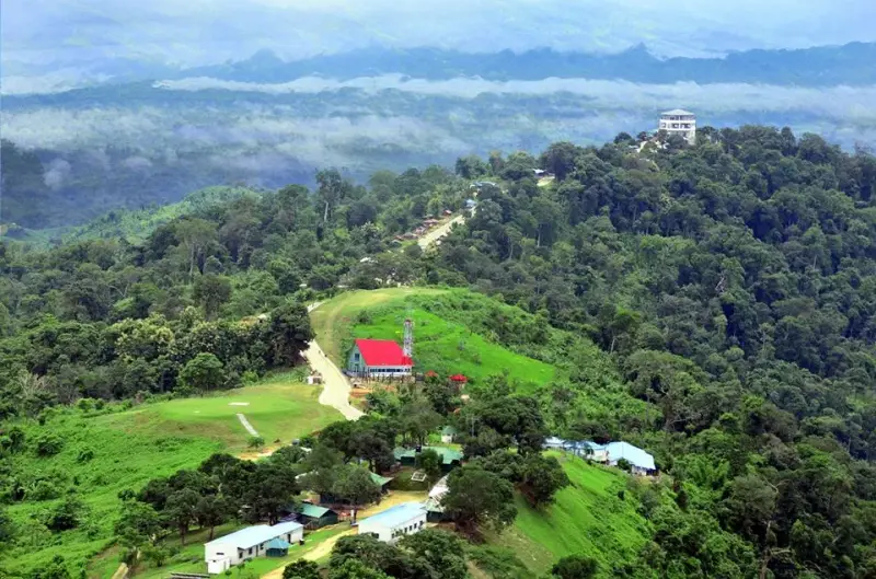 Hills
 Forests
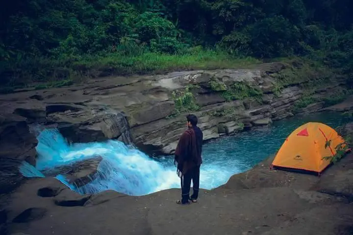 Waterfalls
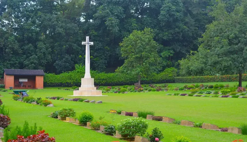 Monument
National Parks
 Beaches
 Entertainment Parks
 Bridges & Barrages
Islands
 Wildlife (Zoo)
 Forts
Kids Zone
 Parks
Art Galleries
 Libraries
 Education
 Temple
UNESCO World Heritage
Church (Christianity)
 Theme Parks
 Botanical Gardens
Statue
Floating Market
 Mountains
Shopping Malls
Weekend Market
 Caves
Theaters
More sights and places to visit in Bangladesh, nearest first.
Chattogram
Banshkhali Eco Park covers a block of hilly forest in the Jaldi Range of southern Chattogram district, where the Bamer Chhora and Daner Chhora streams cut betwe...
Rangamati
Kaptai Dam is an earth-fill embankment across the Karnaphuli River at Kaptai, in the southern corner of Rangamati Hill District. It holds back Kaptai Lake and d...
Chattogram
Butterfly Park Bangladesh sits on Naval Academy Road in Patenga, right next to Shah Amanat International Airport. It was the first park of its kind in the count...
Chattogram
Laldighi is a pond with a long memory. The red name comes not from the water but from two British buildings that once stood beside it, and the open ground next...
Chattogram
Ask anyone in Chattogram where the city welcomes the Bengali New Year and most will point to DC Hill. The low, tree-shaded rise sits in the old center of the po...
Cox's Bazar
Across the Moheshkhali Channel from Cox's Bazar, Moheshkhali rises as a line of green hills, which is unusual on a coast that is otherwise flat delta. Wikipedia...
Cox's Bazar
Ramkot Banashram, better known to pilgrims as Rangkut, is a forest monastery on a hillock in Rajarkul union of Ramu, and it is the place most Buddhists in Cox's...
Chattogram
Most people drive past Sitakunda on the Dhaka-Chattogram highway without looking up at the forested ridge to the east. The Botanical Garden and Eco-Park climbs...
Noakhali
In late 1946, after the communal riots in Noakhali, Mahatma Gandhi came to the district on a peace mission. Banglapedia records that he reached Chaumohani railw...
Tell us where and when you want to go, and local travel experts send you offers for your trip.
General
In the Chittagong Hill Tracts of southeast Bangladesh, close to the boundary between Rangamati and Bandarban districts.
No. Saka Haphong in Bandarban district is the country's highest peak.
It is also known as Msha Panji Haphong.
Its 2022 trek report puts Dumlong at roughly 3,316 feet and calls it the third highest peak in Bangladesh.
Fahim Hasan of BD Explorer reached the top as the third team after the two 2011 measuring expeditions.
About 3,164 feet. The trek report describes it, unofficially, as the sixth highest peak in the country.
The 2022 group stopped at the ruins of a jumghar, a hut used during jhum farming, at about 3:30 pm.
Yes. Trekkers reported mosquitoes at every break, so insect repellent is worth packing.
The 2022 team used Google Maps alongside their guide, which helped on paths that see little use.
The 2022 group found wild mangoes along the route during the monsoon.
Local lore speaks of an old fortress and a Dumlong dynasty, but no reliable source confirms it.
Booking
The 2011 Nature Adventure Club GPS fix, 22°02′02″N 92°35′36″E, matched Google Earth, according to Wikipedia.
Stay & facilities
No. There are no shops, toilets or shelters on the route described, so carry everything you need.
Getting there
You can reach Dumlong Peak (ডুমলং), Rangamati by car. The route is described under How to get there on this page.
Timing & weather
Plan about 15 hours (900 minutes) at Dumlong Peak (ডুমলং), Rangamati. Typical visit: A full day of 14 to 16 hours on foot.
We use necessary cookies to make this site work. With your permission we would also like to remember your preferences, measure how the site is used, and show relevant ads and partner offers. You can change your mind at any time under "Cookie settings" on our Privacy policy page.

 Get the bookingMentor app