
Standard visit
The earth-fill dam across the Karnaphuli River at Kaptai that created Kaptai Lake and still feeds the only hydropower station in Bangladesh.
A working 1960s hydropower dam that shaped Rangamati and its lake, best seen as a roadside stop on the way to the hills.
Kaptai Dam is an earth-fill embankment across the Karnaphuli River at Kaptai, in the southern corner of Rangamati Hill District. It holds back Kaptai Lake and drives the Karnafuli Hydropower Station, which Banglapedia describes as the only hydropower plant in the country. For most travelers it is a stop on the road between Chattogram and Rangamati rather than a destination of its own.
Engineers picked the site in 1951 under chief engineer Khwaja Azimuddin, according to Wikipedia. Building ran from 1957 to 1962, with the American firm Utah International Inc. as contractor and money from the East Pakistan government, the United States and the Overseas Economic Cooperation Fund. Banglapedia records that the plant was inaugurated in early 1962 as part of the Karnafuli Multipurpose Project.
The reservoir drowned the old town of Rangamati and the farmland of tens of thousands of hill people, most of them Chakma, many of whom were never compensated. More than 40,000 Chakma later moved to Arunachal Pradesh in India. That history is part of why the dam is still a sensitive subject in the Chittagong Hill Tracts.
The embankment stands 45.7 meters high and runs 670.6 meters from bank to bank, with a crest 7.6 meters wide. A gated spillway with 16 gates, each 12.2 by 11.3 meters, releases floodwater downstream. Power generation began with two 40 MW units in 1962; a 50 MW unit followed in 1982 and two more in 1988, taking installed capacity to 230 MW.
Beyond electricity for the national grid, Banglapedia lists flood control for Chattogram and the lower Karnaphuli valley, water for irrigation and drainage pumping, and fisheries among the project's purposes. A 2007 study counted 74 freshwater fish species and two prawn species in the reservoir.
The dam and powerhouse are working infrastructure, and no official source we could find sets out public access rules for the crest, spillway or plant. Expect to see the dam from public roads and the lake shore rather than walk on it, and do not photograph security posts.
Checked against trusted sources:
Banglapedia, Karnafuli Hydropower Station
The earth-fill dam across the Karnaphuli River at Kaptai that created Kaptai Lake and still feeds the only hydropower station in Bangladesh.
Guided tours and experiences that include Kaptai Dam (কাপ্তাই বাঁধ). See tours
Viewing points are along public roads around Kaptai; there is no published information on step-free paths or facilities at the dam itself.
Not confirmed yet. Please check with the venue before you visit.
Passport, water, sun hat
Light clothes and walking shoes
Not confirmed yet. Please check with the venue before you visit.
Not confirmed yet. Please check with the venue before you visit.
Kaptai is linked by road to Chattogram city and to Rangamati town; travel guides list bus, CNG auto-rickshaw or boat from Rangamati.
Not confirmed yet. Please check with the venue before you visit.
No special events on record for Kaptai Dam (কাপ্তাই বাঁধ).
Daylight hours in the dry season
Not confirmed yet. Please check with the venue before you visit.
Not confirmed yet. Please check with the venue before you visit.
Others of this kind you opened on this device, so you can get back to them quickly.
No questions yet about Kaptai Dam (কাপ্তাই বাঁধ). Ask the community or our travel team, and the answer will show here once it is published.
Our team answers questions here
Find your kind of trip: 34 travel themes, from Heritage, Mosque (Islam), Lakes & Haors.
 Heritage
Mosque (Islam)
 Lakes & Haors
 Landmarks
 Palaces
Museums
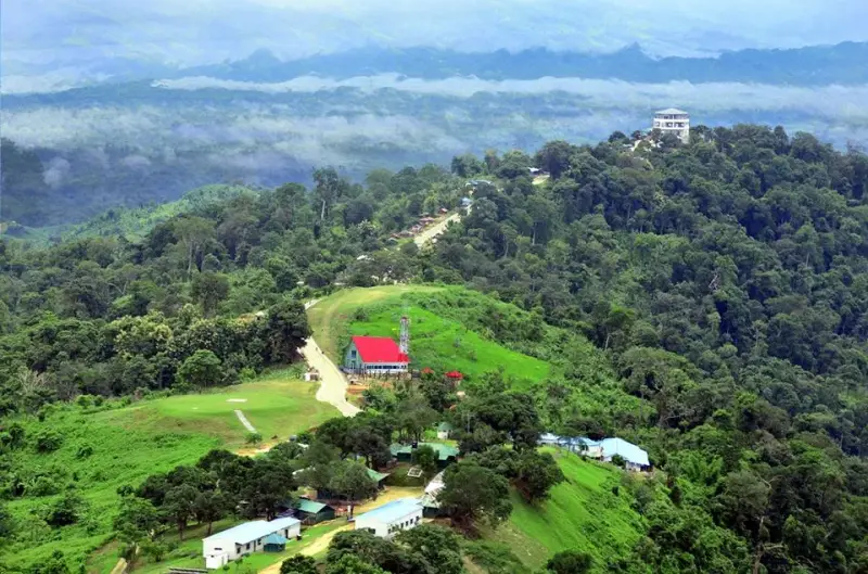 Hills
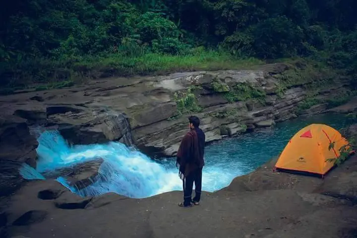 Waterfalls
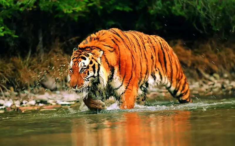 Forests
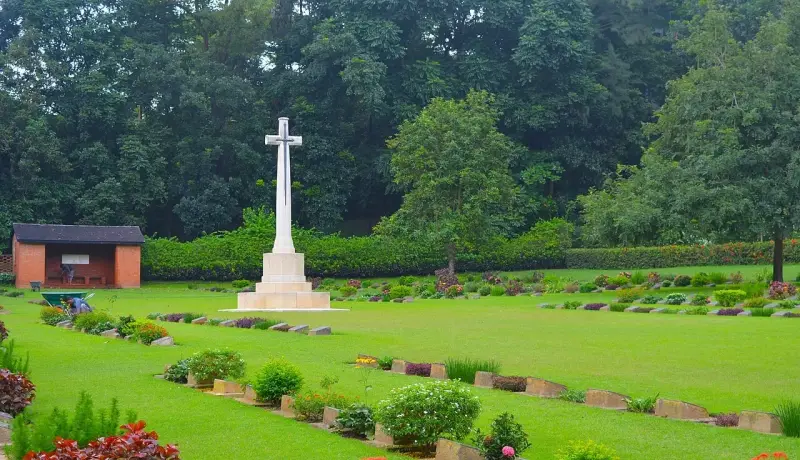 Monument
National Parks
 Beaches
 Entertainment Parks
 Bridges & Barrages
Islands
 Wildlife (Zoo)
 Forts
Kids Zone
 Parks
Art Galleries
 Libraries
 Education
 Temple
UNESCO World Heritage
Church (Christianity)
 Theme Parks
 Botanical Gardens
Statue
Floating Market
 Mountains
Shopping Malls
Weekend Market
 Caves
Theaters
More sights and places to visit in Bangladesh, nearest first.
Rangamati
Dumlong is the highest peak in Rangamati Hill District and one of only three summits in Bangladesh that rise above 1,000 meters. There is no road, signpost or f...
Feni
Seven slim brick towers rise above the treetops in Bashpara, at the edge of Chhagalnaiya town in Feni. They are not temples in the everyday sense but maths: cre...
Khagrachhari
The bus from Khagrachhari to Panchhari runs through rice valleys and low hills, and a few kilometers past the upazila town a golden head appears above the fores...
Feni
Feni has few buildings older than the British era, and this small mosque at Sharshadi is one of them. It went up in 1762, the same year the Naib Nazim of Dhaka...
Noakhali
The Bajra Shahi Mosque stands in Bazra Union of Sonaimuri Upazila, in the green countryside north of Noakhali town. It was built in 1741-42 by Aman Ullah during...
Noakhali
Nijhum Dwip is a low island at the mouth of the Meghna, south of Hatiya in Noakhali District. It rose out of river silt in the early 1950s, according to the Ban...
Lakshmipur
Tita Khan Jame Mosque is a compact, highly decorated prayer hall tucked into the busy market streets of Lakshmipur town. It is the most central of the district'...
Comilla
On the bank of the old Gumti channel in Cumilla's Mughaltuli quarter, three ribbed domes and four slender corner towers mark the town's best-known Mughal monume...
Feni
The Saha zamindars of Pratappur were the leading landlords of this corner of Feni for more than two centuries, and their estate, also called Pratappur Rajbari,...
Tell us where and when you want to go, and local travel experts send you offers for your trip.
Booking
Wikipedia gives a total storage of about 6,477 million cubic meters.
Yes. Banglapedia records about 8,250 metric tons of fish produced in 2007-08.
General
About 777 square kilometers at its normal level of 33 meters above sea level.
Roughly 11,000 square kilometers of hills feed the reservoir.
Some 655 square kilometers, including 220 square kilometers of farmland, which was about 40 percent of the cultivable land in the area.
The fill volume is about 1,977,000 cubic meters, on a base 45.7 meters wide.
Banglapedia puts the combined discharge at 625,000 cusec; Wikipedia gives about 16,000 cubic meters per second.
The station started at 80 MW before two expansion phases.
Kaplan-type turbines, which suit the low head of a reservoir dam.
Kaptai Dam (কাপ্তাই বাঁধ) is in Rangamati, Bangladesh. The street address and directions are under How to get there on this page.
Prices & payment
The first two units and part of the third cost Rs. 503 million; the later extension cost Tk. 1,900 million.
Getting there
Banglapedia puts Kaptai about 50 km from Chattogram; Wikipedia gives 65 km upstream along the river.
You can reach Kaptai Dam (কাপ্তাই বাঁধ) by car. The route is described under How to get there on this page.
Shah Amanat International Airport (CGP) is the airport for Kaptai Dam (কাপ্তাই বাঁধ), about 50 km away in a straight line.
Timing & weather
Plan about 1.5 hour (90 minutes) at Kaptai Dam (কাপ্তাই বাঁধ). Typical visit: About an hour as a stop on the Chattogram to Rangamati road.
We use necessary cookies to make this site work. With your permission we would also like to remember your preferences, measure how the site is used, and show relevant ads and partner offers. You can change your mind at any time under "Cookie settings" on our Privacy policy page.

 Exclusive holiday package offers