
Standard visit
A forested peak of about 2,940 feet deep inside Rowangchhari upazila, climbed on a three-day trek from Rowangchhari via Ronin Para.
A rugged three-peak ridge in Rowangchhari, Bandarban, climbed on a three-day trek with nights in the Bawm village of Ronin Para.
Sippi Arsuang is one of the taller summits in the Bandarban hills and one of the more approachable for a first multi-day trek. Wikipedia's list of the mountains of Bangladesh gives it 896 m (2,940 ft) from satellite data, while the Nature Adventure Club claimed 3,030 ft when it measured the peak in 2008. Older military maps call it Ramju Taung.
The peak carries a different name in each local language. Bawm speakers say Sippi, Marma speakers Ramatang and Tanchangya speakers Rametang, while the Pangkhua name Arsuang is usually translated as rooster's crest, a fair description of the jagged ridgeline.
The common route starts at Rowangchhari bazar, about 19 km from Bandarban town. Trekkers walk roughly three hours to Paikkhyang Para and another two and a half to Ronin Para, the base village, where most groups spend two nights. Summit day is an early start: around four hours up through dense, steep jungle past Debchhari Para, and the same back down. A sample plan from traveler accounts runs Bandarban to Ronin Para on day one, the summit on day two and the walk out on day three.
Ronin Para is a village of stilt houses with pipe water drawn from streams on Sippi's slopes and a little solar power. Trekkers sleep in villagers' homes but usually bring their own rice, oil, potatoes and onions and cook for themselves.
The range has three peaks: seen from Sippi Para, Sippi stands on the left, Arsuang in the middle and Tangkhan Tang on the right. From the top, trekkers can pick out villages such as Shankhamuni Para in the valleys. Local stories mention a colonial-era British camp on the summit and tigers in the forest; neither has been documented, but deer and wild boar are reported.
Visitors report to the army camp and police station in Rowangchhari before heading into the hills. Rowangchhari was among the upazilas closed to tourists after 2023; Bonik Barta reported on 6 June 2025 that the travel ban was lifted across all seven upazilas, with some spots reopening only after review, so confirm locally first.
Checked against trusted sources:
Bonik Barta
A forested peak of about 2,940 feet deep inside Rowangchhari upazila, climbed on a three-day trek from Rowangchhari via Ronin Para.
Guided tours and experiences that include Sippi Arsuang (সিপ্পি আরসুয়াং). See tours
Not accessible for wheelchair users or people with limited mobility. Every route is a steep, unpaved forest trek with stream crossings and no facilities.
Not confirmed yet. Please check with the venue before you visit.
ID copies, raincoat, torch, power bank, water bottle, rice, oil and spices for cooking
Shoes or trekking sandals with strong grip, shorts and long-sleeved shirts against scratches
Not confirmed yet. Please check with the venue before you visit.
No facilities on the peak. Basic homestay rooms and pipe water are available in Ronin Para.
Leave Ronin Para before dawn on summit day to beat the midday heat. Carry enough water for eight hours on the mountain, and buy cooking supplies in Rowangchhari since village shops are tiny.
From Bandarban town, drive or take a local bus 19 km to Rowangchhari bazar. Beyond there the route to Paikkhyang Para, Ronin Para and the summit is on foot.
Not confirmed yet. Please check with the venue before you visit.
No special events on record for Sippi Arsuang (সিপ্পি আরসুয়াং).
Start summit day before dawn for cooler air and clearer views
Not confirmed yet. Please check with the venue before you visit.
Not confirmed yet. Please check with the venue before you visit.
Others of this kind you opened on this device, so you can get back to them quickly.
No questions yet about Sippi Arsuang (সিপ্পি আরসুয়াং). Ask the community or our travel team, and the answer will show here once it is published.
Our team answers questions here
Hotels closest to Sippi Arsuang (সিপ্পি আরসুয়াং), nearest first, so you spend less time on the road and more time there.
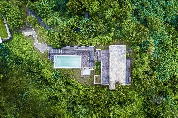 14 photos

Bandarban
24 km from Sippi Arsuang
Find your kind of trip: 34 travel themes, from Heritage, Mosque (Islam), Lakes & Haors.
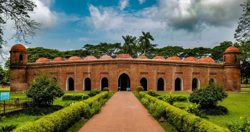 Heritage
Mosque (Islam)
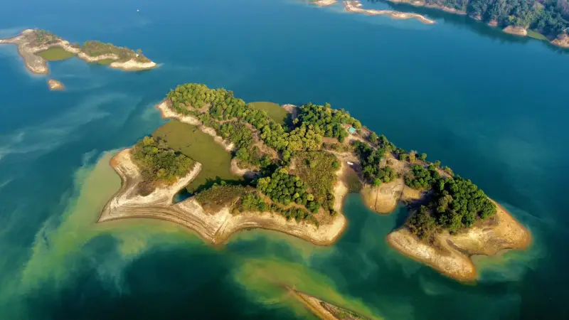 Lakes & Haors
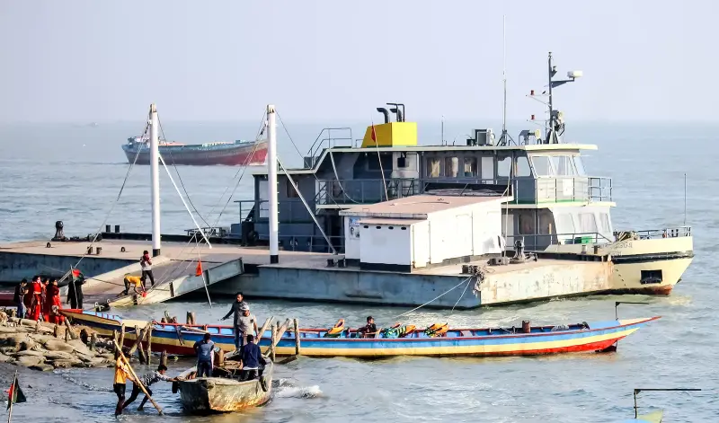 Landmarks
 Palaces
Museums
 Hills
 Waterfalls
 Forests
 Monument
National Parks
 Beaches
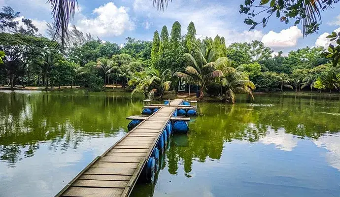 Entertainment Parks
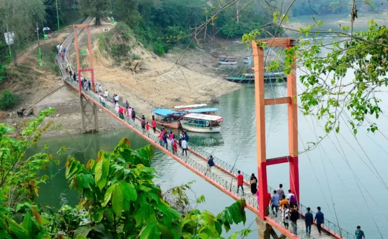 Bridges & Barrages
Islands
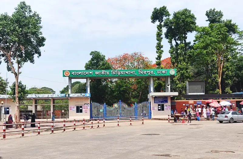 Wildlife (Zoo)
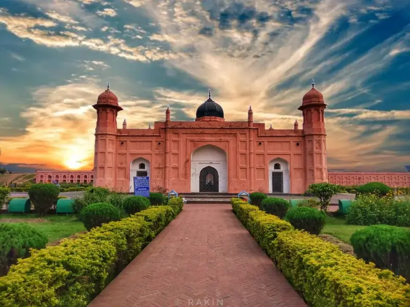 Forts
Kids Zone
 Parks
Art Galleries
 Libraries
 Education
 Temple
UNESCO World Heritage
Church (Christianity)
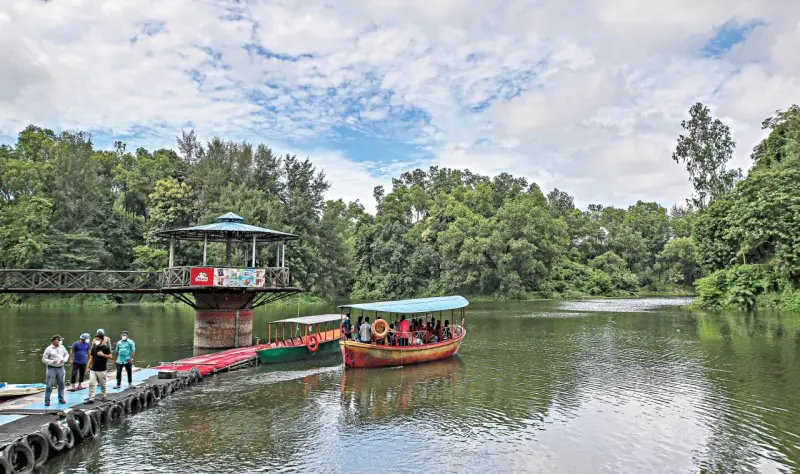 Theme Parks
 Botanical Gardens
Statue
Floating Market
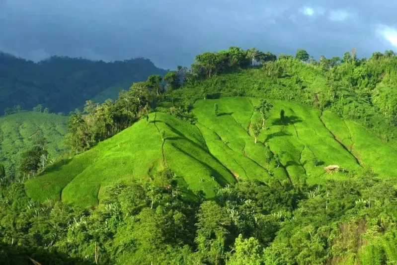 Mountains
Shopping Malls
Weekend Market
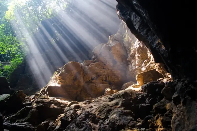 Caves
Theaters
More sights and places to visit in Bangladesh, nearest first.
Bandarban
Most peaks in the Bandarban hills end in a point or a narrow ridge. Kapital, written কপিতাল in Bangla and often spelled Kopital or Capital Peak in English, is d...
Bandarban
Thingdawl Te Tlang is a peak for people who like the walk more than the view. There is no road, no viewing deck and no sign at the top, only bamboo forest, jhum...
Patuakhali
Payra is the newest of Bangladesh's three seaports, after Chattogram and Mongla. It lies on the west bank of the Rabnabad Channel in Kalapara upazila, not far f...
Pirojpur
For decades, anyone driving between Barishal and Khulna divisions through Pirojpur had to stop at the Kocha River and wait for the Bekutia to Kumirmara ferry. T...
Narayanganj
Banglar Taj Mahal is exactly what the name promises: a white-domed copy of the Agra mausoleum, standing in the village of Perab in Jampur Union, Sonargaon. It w...
Pirojpur
Most of Bangladesh's southwest is shaped by a handful of big rivers, and the Baleshwar is the one that defines Pirojpur's western flank. It carries water that b...
Narsingdi
Chinadi Beel is a working wetland first and a day-trip spot second. Fishing families from the surrounding villages of Dulalpur union set seine nets and gill net...
Netrokona
The Someshwari starts life in India as the Simsang, rising in the Nokrek range of Meghalaya's Garo Hills, and takes its Bangla name once it reaches the plains a...
Bandarban
Likhiyang is a high, seasonal waterfall tucked into the forest above Remakri, the river market on the upper Sangu in Thanchi upazila. Trekkers who have reached...
Tell us where and when you want to go, and local travel experts send you offers for your trip.
General
Figures differ. Satellite data puts it at 896 m (2,940 ft), the US Army 1:250k map shows 3,016 ft and a 2008 club measurement claimed 3,030 ft.
Trekkers often recommend it as a first Bandarban summit, since the round trip fits into three days and the route is well used by local guides.
November to March. The monsoon makes the final jungle stretch slippery and leech-heavy, so most guides advise against it.
Local buses run roughly hourly from 8 AM to 5 PM and take about 90 minutes; a hired CNG three-wheeler takes about an hour.
Yes. Guides for the summit day can also be found in Ronin Para or Sippi Para.
Bandarban town has many hotels and Rowangchhari has two small ones. In the hills you stay in village homes.
Yes. A longer route links Bangchhari with Thanchi-side villages, and another comes in from Ruma via Mun Noyam Para.
The last section above Ronin Para, where the path climbs steeply through thick jungle and guides sometimes clear it with a machete.
Copies of your ID, a raincoat, trekking sandals with good grip, sunscreen, a torch, a power bank and personal medicines.
Sippi Arsuang (সিপ্পি আরসুয়াং) is in Bandarban, Bangladesh. The street address and directions are under How to get there on this page.
Explore the area on this page lists 5 places around Sippi Arsuang (সিপ্পি আরসুয়াং), with the distance to each.
bookingMentor lists 1 place to stay in Bandarban. Rooms start from $106.00 (USD) a night.
Prices & payment
Travelers report about Tk 400 per day for a guide hired in Rowangchhari. Agree the full fee before you start.
Timing & weather
Most visitors spend Three days from Bandarban town at Sippi Arsuang (সিপ্পি আরসুয়াং).
Getting there
Shah Amanat International Airport (CGP) is the airport for Sippi Arsuang (সিপ্পি আরসুয়াং), about 69 km away in a straight line.
We use necessary cookies to make this site work. With your permission we would also like to remember your preferences, measure how the site is used, and show relevant ads and partner offers. You can change your mind at any time under "Cookie settings" on our Privacy policy page.

 Plan your trip with AI