


Marshall Islands travel guide
Remote Pacific atolls of lagoons, reefs and WWII wrecks.
The Marshall Islands are a remote Pacific nation of 29 coral atolls and five islands. Visitors come for lagoons, diving and snorkelling, Second World War wrecks and the UNESCO-listed Bikini Atoll nuclear test site. Travel is expensive and flights are limited; allow at least a week.
The Marshall Islands consist of 29 atolls and 5 single islands and are located in the Pacific Ocean between Honolulu and Guam. In terms of tourism, the island country has much to offer, from watersports and fishing to sightseeing, scuba diving, cultural activities, shopping and dining.
The main areas of interest are Ailuk Atoll, Atoll of Kwajalein, Bikini Atoll, Mili Atoll and Majuro Atoll.
Travelers to the Marshall Islands must obtain a tourist or transit visa before traveling unless they are a citizen of a visa exempt country. Visas may be obtained by lodging a visa application at the nearest embassy or consulate.
For those traveling by air, the main international gateway is Amata Kabua International Airport, located in Majuro. Airlines currently operating flights to the Marshall Islands include United Airlines, Continental Airlines, Korean Air, China Airlines, Asiana Airlines, and Japan Airlines.
For those traveling by sea, ferry services operate between major islands, although there are no scheduled services. Vessels must check-in with Immigration and Customs at the port of departure and again at the port of arrival.
Best experiences in the Marshall Islands
Find your kind of trip: 24 travel themes, each with the packages in Marshall Islands.
 Ayurveda Tours
Seasonal/Event
 Adventure
Wildlife & Safaris
Pilgrimage
Eco/Nature
Culture & History
 Honeymoon
 Romantic Getaway
 Cruise
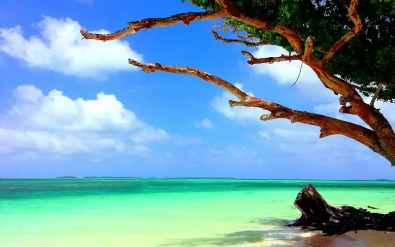 Water Activities
 Backpacking
 Luxury
 Photography
City Slickers
Heritage
 Beach & Relaxation
 Sports & Recreation
 Food & Wine
Train & River Journeys
Skiing
 Overland
Marshall Islands at a glance
US dollars, a Majuro gateway with few weekly flights, and the facts to sort out before you book.
Explore other countries
Pick a place by travel style: beaches, nature, cities, heritage, hills, islands, desert.
 ThailandTemples, street food and tropical islands
 PortugalLisbon, Porto, the Algarve and island escapes
 Saudi ArabiaAlUla, Red Sea coast and Arabian heritage
 FranceParis, the Riviera, châteaux and Alpine peaks
 United StatesGreat cities, national parks and road trips
 QatarDoha's museums, souqs and desert dunes
 IndiaPalaces, temples, Himalaya and backwaters
 Sri LankaAncient cities, tea hills, wildlife and beaches
 ChinaThe Great Wall, ancient capitals and mega-cities
 United KingdomLondon, castles, highlands and country villages
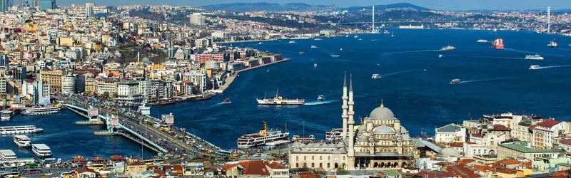 TurkeyIstanbul, Cappadocia and the Turquoise Coast
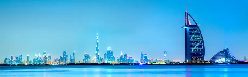 United Arab EmiratesDubai, Abu Dhabi and desert adventures
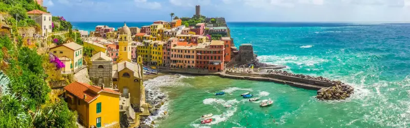 ItalyRome, Renaissance cities, lakes and coastlines
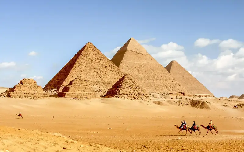 EgyptPyramids, Nile temples and Red Sea reefs
 JapanTokyo, Kyoto's temples and Mount Fuji
 GermanyBerlin, castles, the Rhine and the Alps
 MalaysiaKuala Lumpur, rainforest, islands and street food
 SpainBeaches, tapas, flamenco and Gaudí
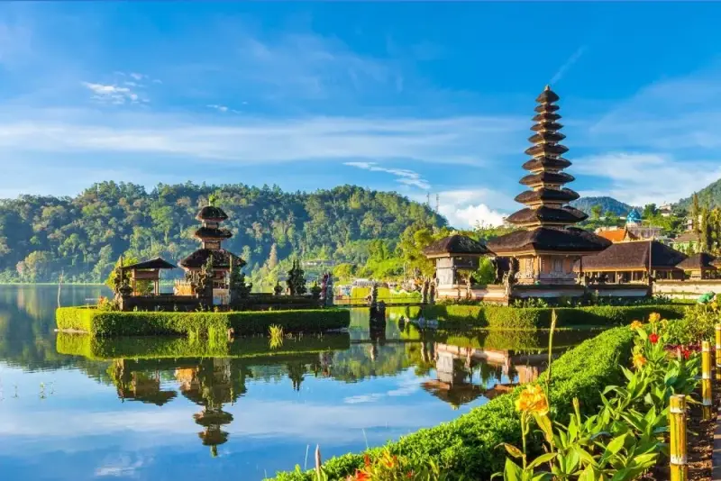 IndonesiaBali, Komodo, Borobudur and 17,000 islands
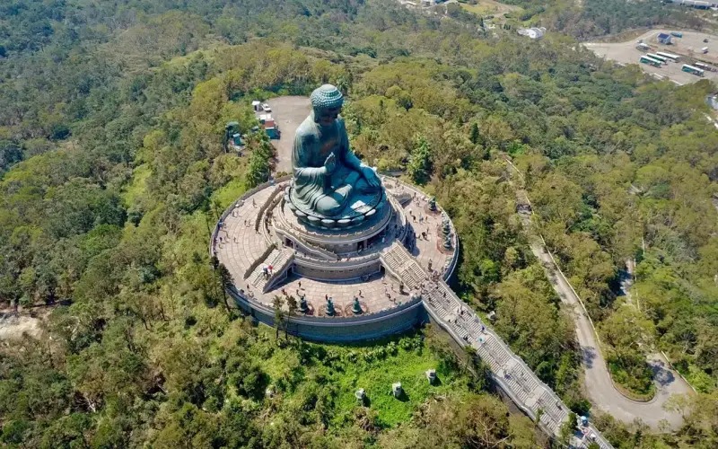 Hong KongSkyline, harbour, dim sum and hiking trails
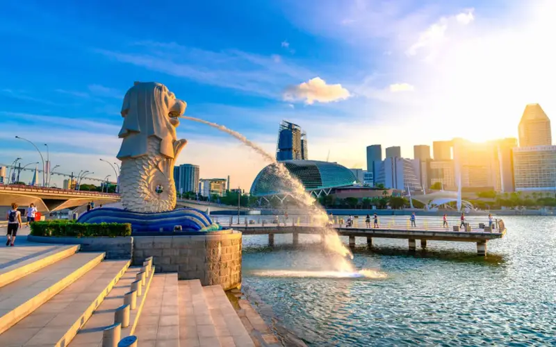 SingaporeGardens, hawker food and a dazzling skyline
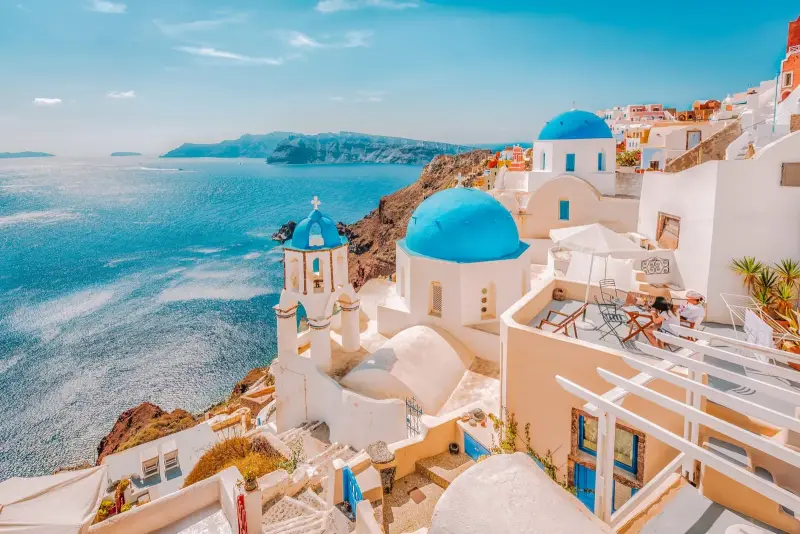 GreeceAncient wonders and Aegean islands
 MaldivesOverwater villas and coral atolls
 VietnamHa Long Bay, Hoi An and street food
 BrazilRio, the Amazon, Iguaçu and endless beaches
 AustraliaReef, outback, beaches and laid-back cities
 South KoreaSeoul's palaces, K-culture and mountain temples
 SwitzerlandAlps, lakes, trains and chocolate
 MexicoMaya ruins, Caribbean beaches and Mexico City
 RussiaMoscow, St Petersburg and vast landscapes
 South AfricaSafaris, Cape Town and the Garden Route
 CanadaRockies, lakes, wildlife and friendly cities
 PalestineBethlehem, Jericho and ancient holy sites
 TaiwanNight markets, mountains and Taipei 101
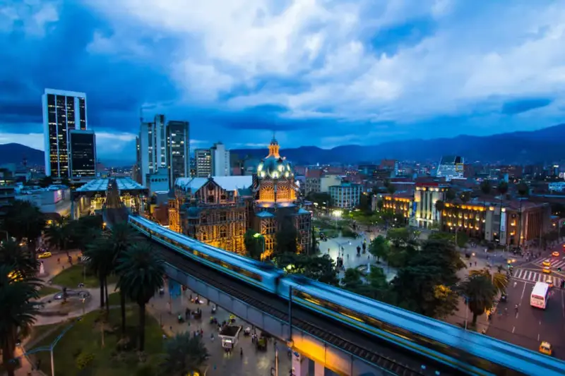 ColombiaCaribbean coast, coffee country and Andean cities
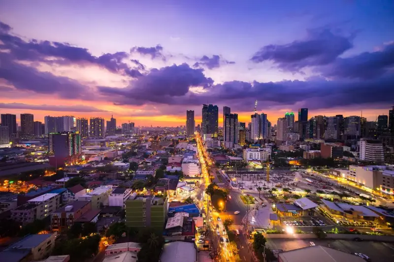 Philippines7,000 islands of beaches, reefs and rice terraces
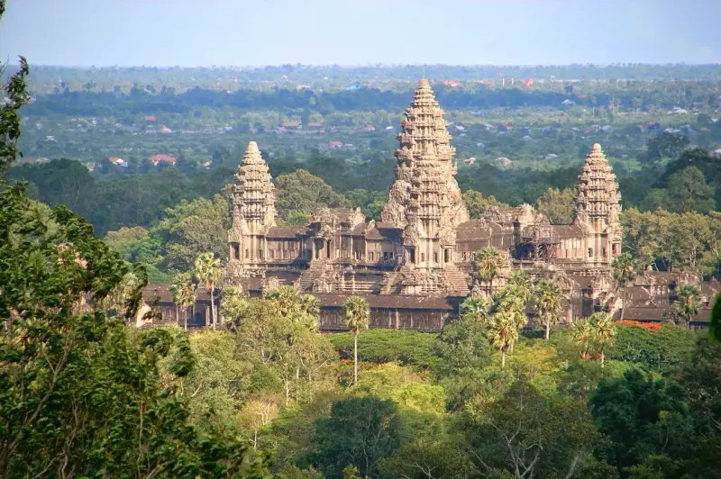 CambodiaAngkor's temples, river life and islands
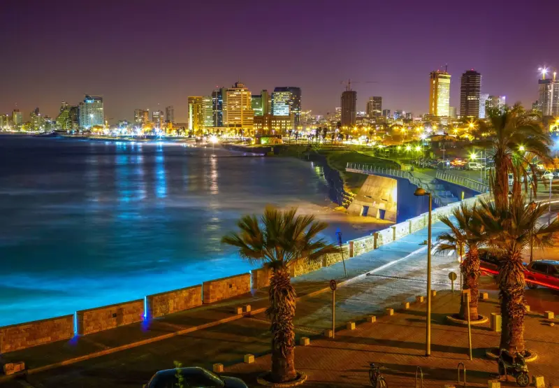 IsraelJerusalem, the Dead Sea and Tel Aviv beaches
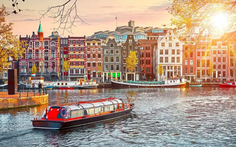 NetherlandsCanals, bikes, tulips and Dutch masters
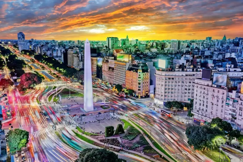 ArgentinaTango, glaciers, waterfalls and the Andes
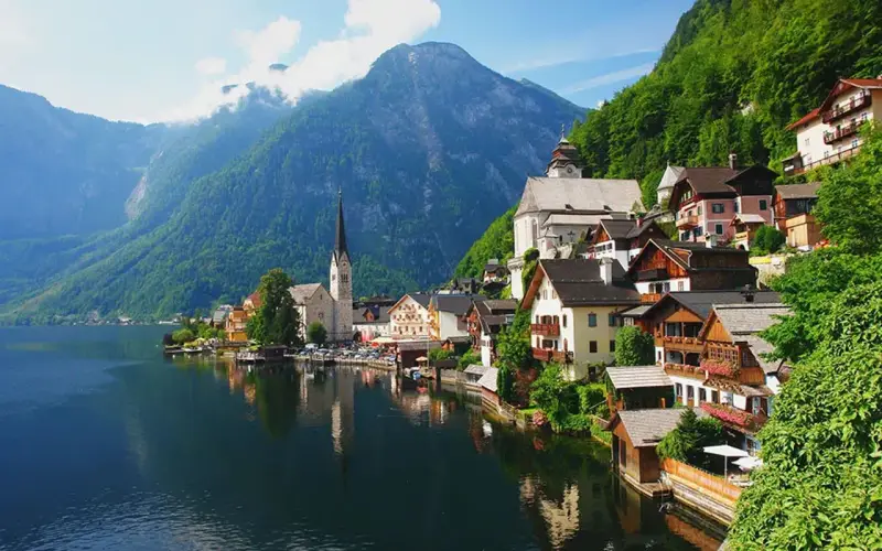 AustriaVienna's palaces, Alpine villages and music
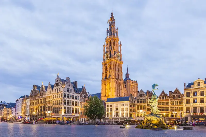 BelgiumMedieval towns, art, chocolate and beer
 ChilePatagonia, the Atacama and the Andes
 CroatiaAdriatic islands, walled towns and lakes
 IcelandWaterfalls, glaciers, volcanoes and northern lights
 IrelandGreen coasts, lively pubs and Celtic heritage
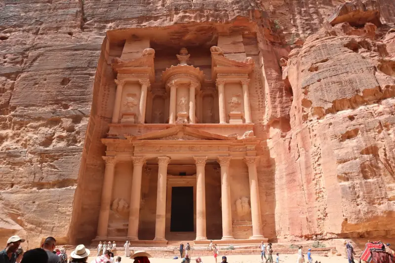 JordanPetra, Wadi Rum and the Dead Sea
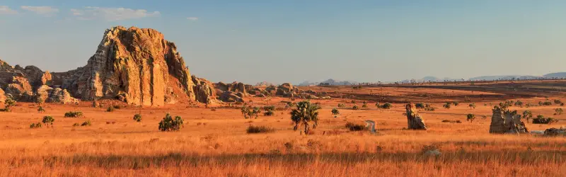 MadagascarLemurs, baobabs and unique wildlife
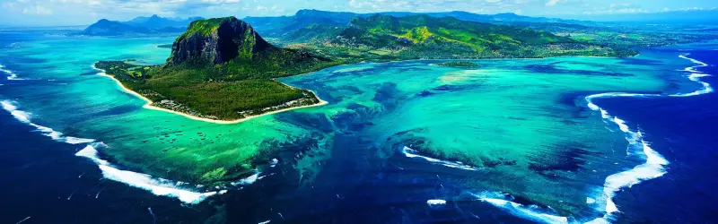 MauritiusLagoons, mountains and multicultural flavours
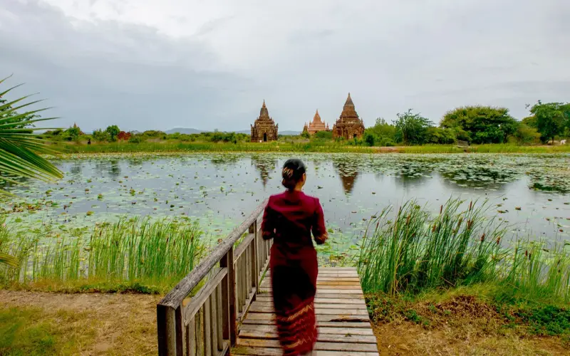 MyanmarBagan's temples and the Shwedagon Pagoda
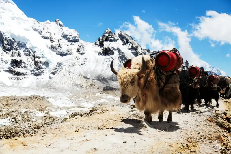 NepalEverest, the Annapurnas and Kathmandu's temples
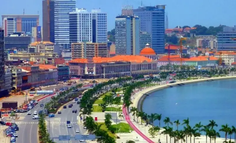 NigeriaLagos energy, Afrobeats and cultural heritage
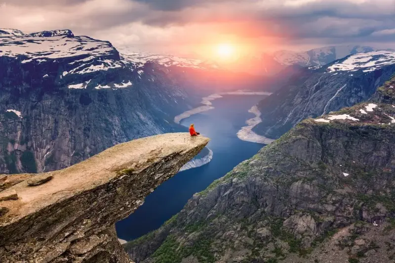 NorwayFjords, northern lights and the midnight sun
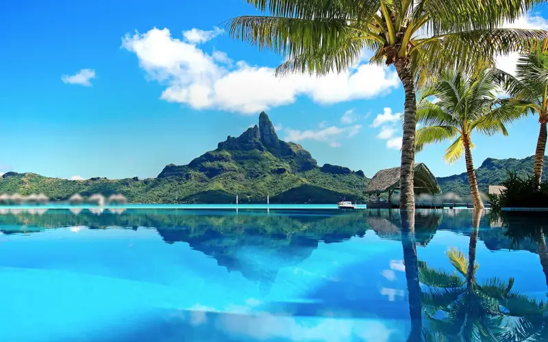 TahitiGateway to French Polynesia
 TanzaniaSerengeti, Kilimanjaro and Zanzibar
 VenezuelaAngel Falls, Los Roques and the Andes
 BhutanHimalayan monasteries and Gross National Happiness
 BoliviaSalt flats, Andean lakes and colonial cities
 KuwaitGulf city-state
 MoroccoMedinas, Sahara dunes and Atlas mountains
 OmanForts, wadis, deserts and Arabian coast
 ParaguayJesuit missions, wetlands and the Chaco
 PeruMachu Picchu, the Andes and the Amazon
 ScotlandHighlands, castles, islands and whisky
 TunisiaCarthage, Sahara and Mediterranean beaches
 AngolaAtlantic coast, waterfalls and desert landscapes
 AzerbaijanBaku's flame towers and Caspian Sea culture
 BahamasTurquoise water across 700 islands
 BahrainPearling heritage and Gulf city life
 BotswanaOkavango Delta safaris and Kalahari skies
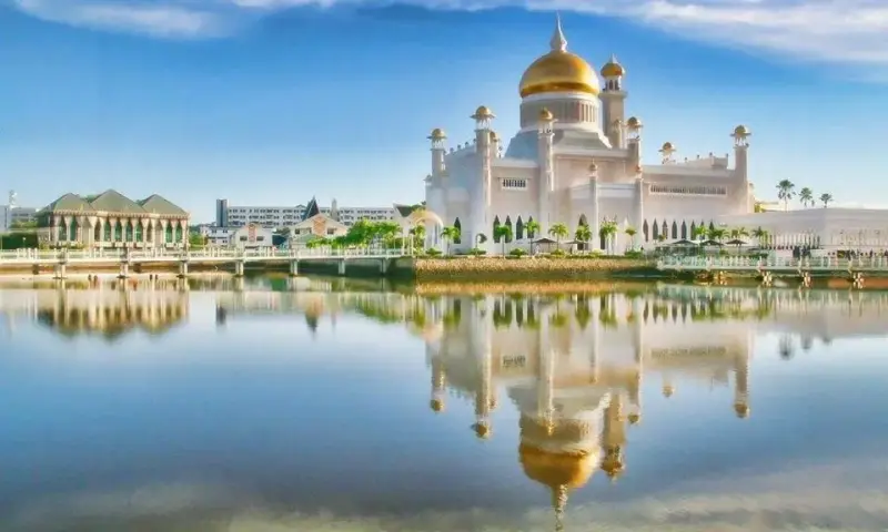 BruneiGolden mosques and pristine Borneo rainforest
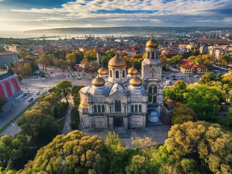 BulgariaBlack Sea beaches, mountains and monasteries
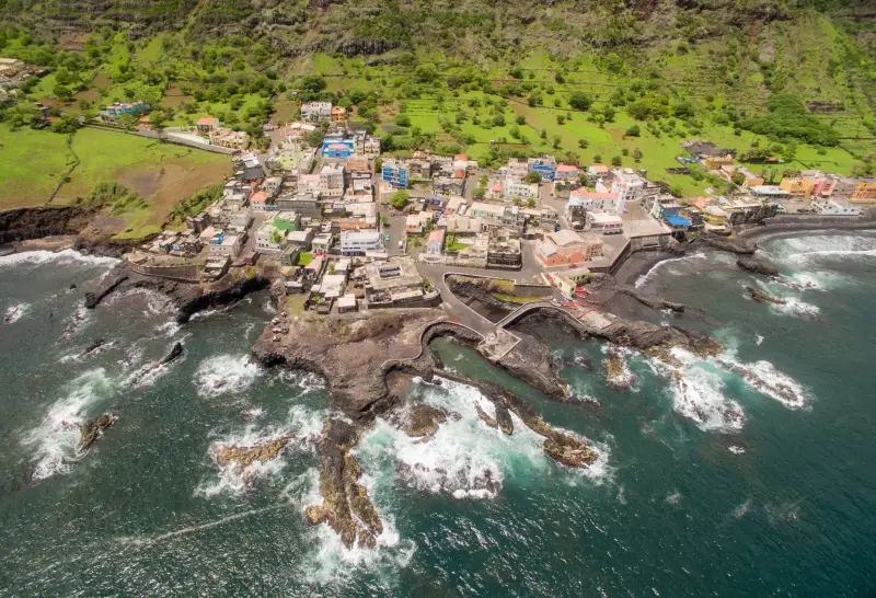 Cape Verde IslandsAtlantic islands of beaches, volcanoes and morna
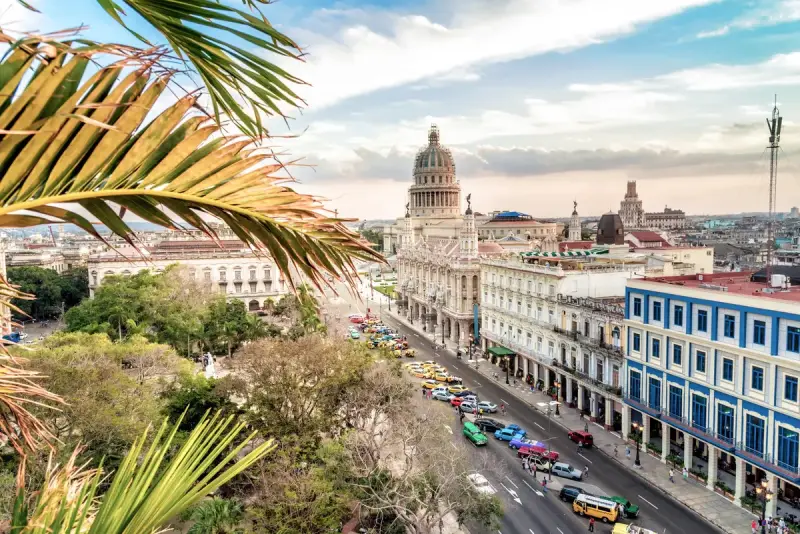 CubaHavana, Trinidad, tobacco valleys and beaches
 Czech RepublicPrague, castles and spa towns
 EcuadorGalápagos, Andes volcanoes and the Amazon
 EthiopiaRock-hewn churches, highlands and ancient kingdoms
 FijiCoral islands, warm welcomes and soft coral reefs
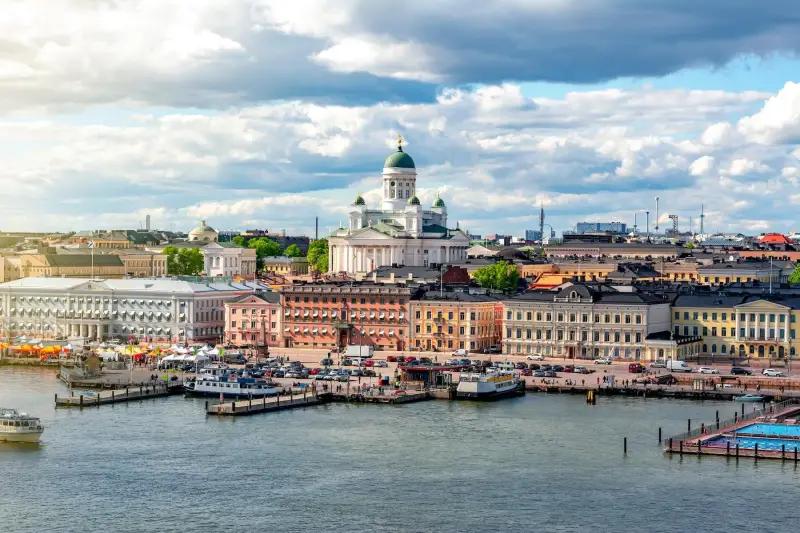 FinlandLakes, Lapland and the northern lights
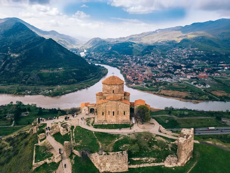 GeorgiaCaucasus peaks, wine and Tbilisi's old town
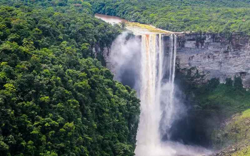 GuyanaKaieteur Falls and untouched rainforest
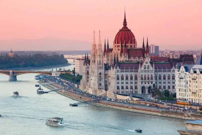 HungaryBudapest's baths, Lake Balaton and wine
 KazakhstanSteppe, canyons and Silk Road cities
 KenyaSafaris, the Great Migration and Indian Ocean beaches
 LaosLuang Prabang, the Mekong and limestone karsts
 LatviaRiga's Art Nouveau and Baltic beaches
 LibyaRoman ruins and Sahara
 LuxembourgFortress city, castles and free public transport
 MongoliaSteppe, Gobi Desert and nomad life
 MozambiqueIndian Ocean islands and coral coast
 New ZealandFiords, glaciers, volcanoes and Māori culture
 PakistanKarakoram peaks, Mughal Lahore and mountain valleys
 PanamaThe canal, islands and rainforest
 Papua New GuineaHighland cultures, reefs and the Kokoda Track
 PolandKraków, Gdańsk, Warsaw and the Tatras
 RomaniaTransylvania's castles, painted monasteries and the Carpathians
 RwandaMountain gorillas and the land of a thousand hills
 Saint LuciaThe Pitons, rainforest and Caribbean romance
 SerbiaBelgrade nightlife, monasteries and the Danube
 SeychellesGranite islands and perfect beaches
 SudanNubian pyramids and the Nile
 SwedenStockholm's archipelago, Lapland and design
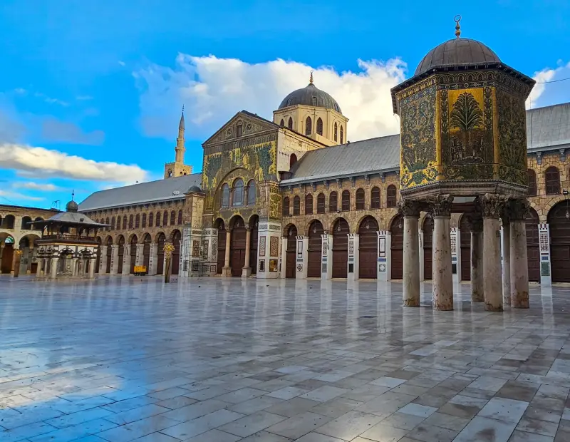 SyriaAncient cities
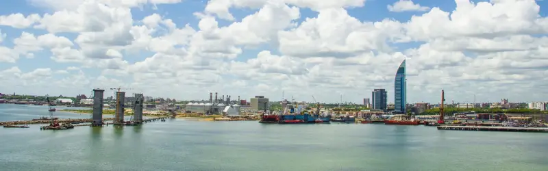 UruguayBeaches, colonial Colonia and laid-back Montevideo
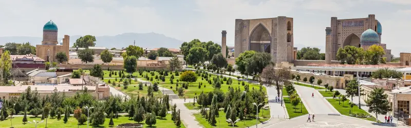 UzbekistanSamarkand, Bukhara and Khiva on the Silk Road
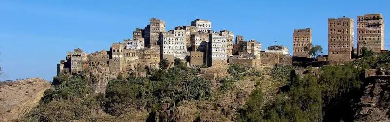 YemenAncient tower houses and Socotra's unique nature
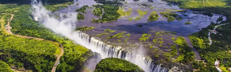 ZambiaVictoria Falls, walking safaris and the Zambezi
SurinameRainforest, rivers and colonial Paramaribo
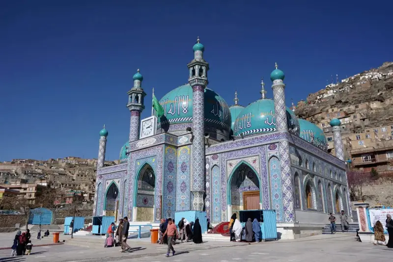 AfghanistanMountain valleys and Silk Road history
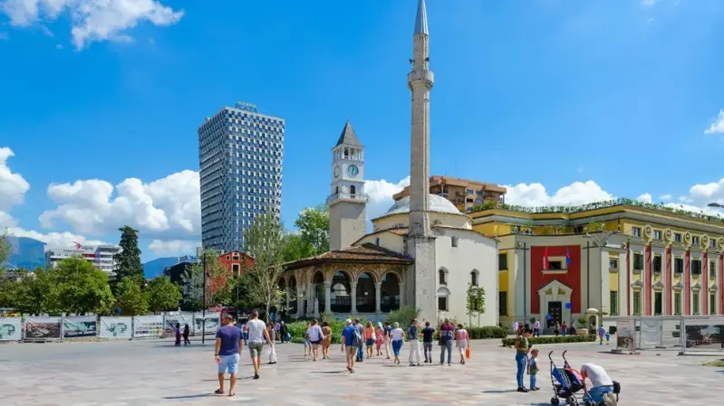 AlbaniaRiviera beaches, mountain villages and Ottoman towns
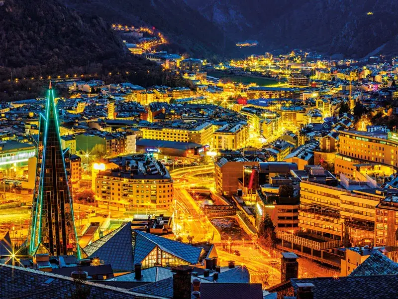 AndorraPyrenean ski slopes and duty-free shopping
 AntarcticaIcebergs, penguins and the last great wilderness
 Antigua and BarbudaA beach for every day of the year
 ArcticNorthern lights, polar bears and the midnight sun
 ArmeniaAncient monasteries beneath Mount Ararat
 BarbadosBeaches, rum and cricket in the Caribbean
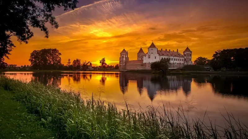 BelarusPrimeval forests and Soviet-era Minsk
 BelizeBarrier reef, Maya temples and jungle
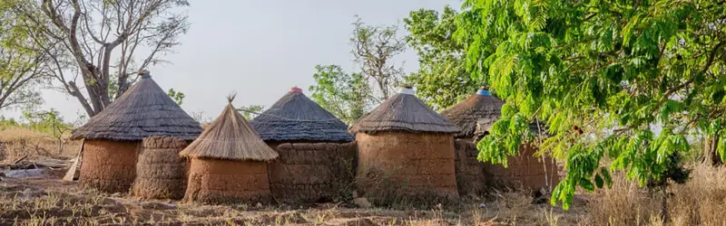 BeninVodun culture, royal palaces and lagoon villages
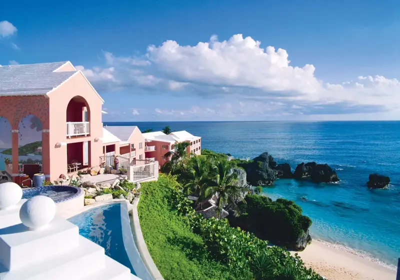 BermudaPink sand beaches in the Atlantic
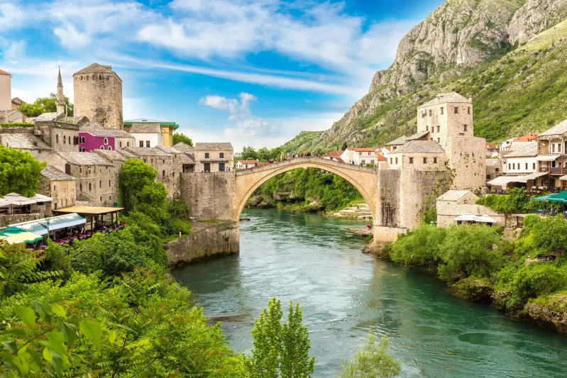 Bosnia HerzegovinaOttoman bridges, mountain rivers and Sarajevo
 Burkina FasoSahel culture, music and film festivals
 BurundiLake Tanganyika beaches and drumming traditions
 CameroonAfrica in miniature: rainforest, volcano and savanna
 ChadSaharan landscapes and Zakouma wildlife
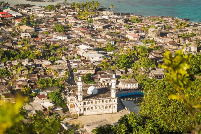 ComorosVolcanic islands, vanilla and ylang-ylang
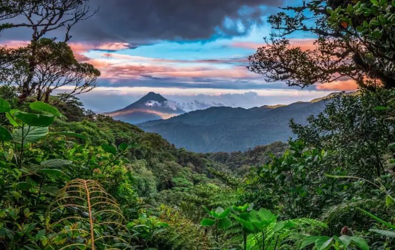 Costa RicaRainforest, volcanoes, wildlife and two coasts
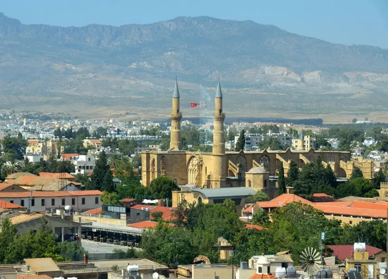 CyprusSunny beaches, ancient sites and mountain villages
 Côte D'IvoireAbidjan's skyline, beaches and basilicas
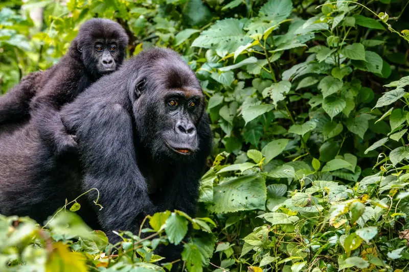 DR CongoGorillas, volcanoes and the mighty Congo River
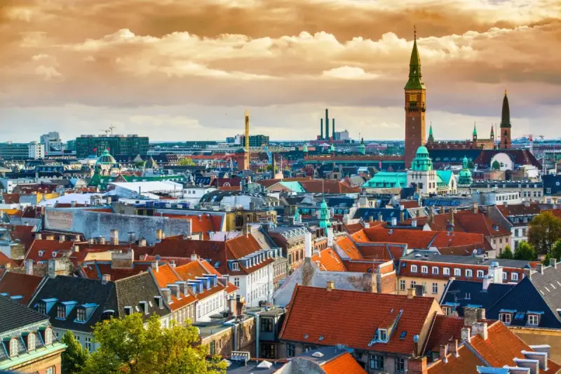 DenmarkCopenhagen design, castles and coastlines
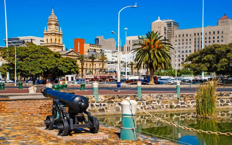 DjiboutiSalt lakes, whale sharks and volcanic desert
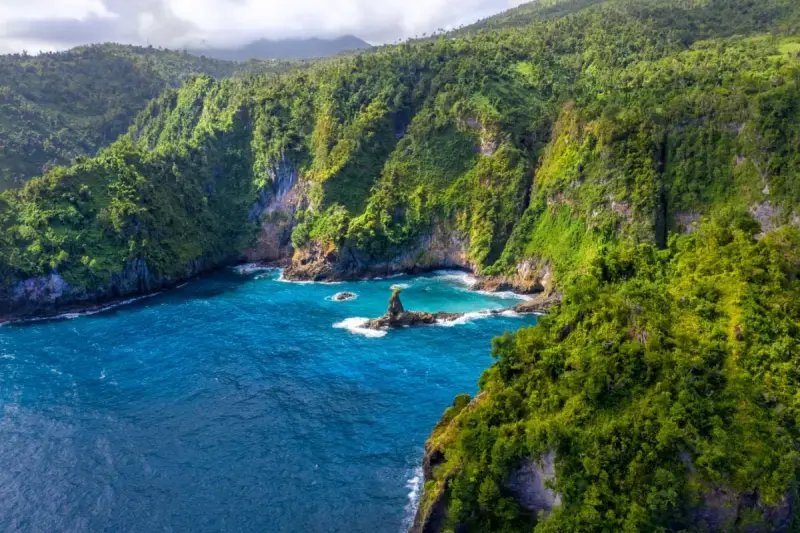 DominicaThe Caribbean's nature island
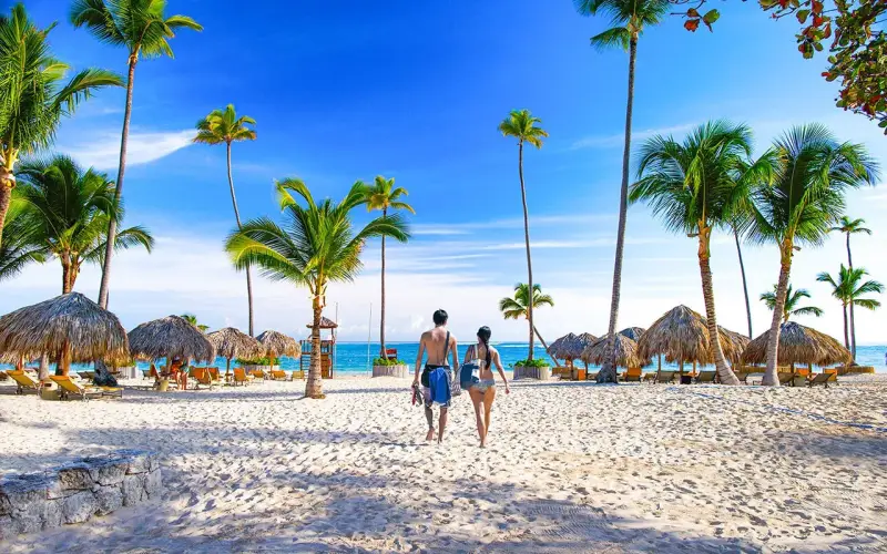 Dominican RepublicPunta Cana beaches and the New World's first city
 El SalvadorSurf beaches, volcanoes and colonial towns
 Equatorial GuineaVolcanic Bioko and rainforest Río Muni
 EritreaAsmara's Modernist architecture and the Red Sea
 EstoniaTallinn's medieval old town and Baltic nature
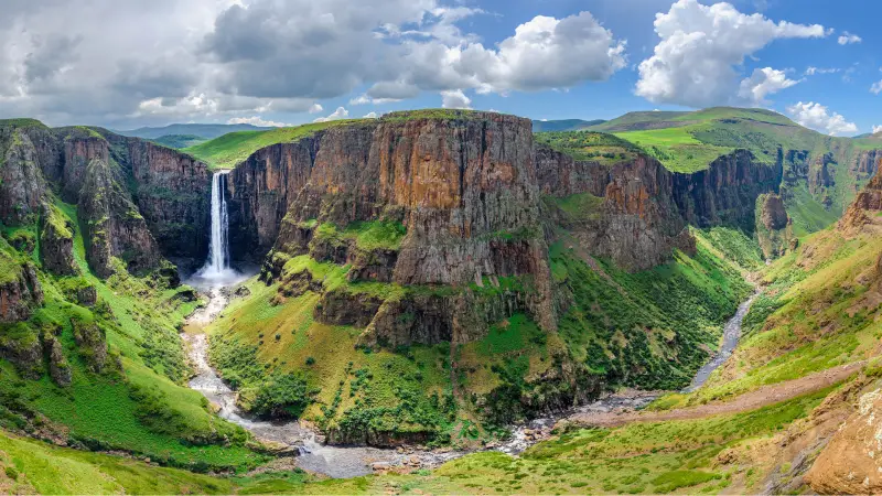 EswatiniWildlife, culture festivals and mountain valleys
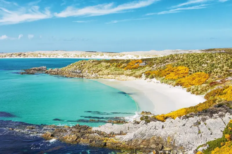 Falkland IslandsPenguin colonies on remote South Atlantic islands
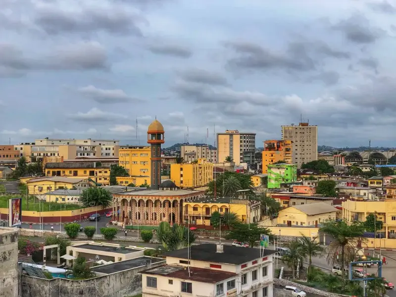 GabonRainforest parks, surfing hippos and gorillas
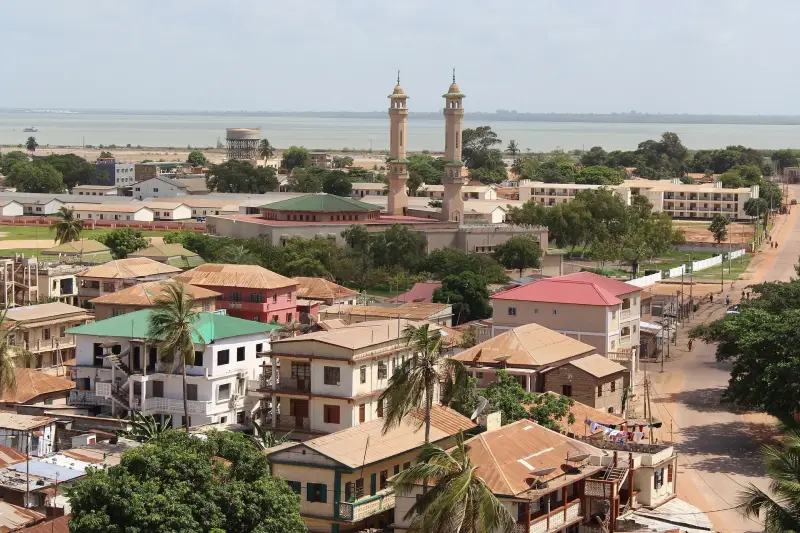 GambiaAtlantic beaches, river life and birdwatching
 GhanaCoastal castles, Ashanti culture and warm welcomes
 GreenlandIcebergs, glaciers and Arctic culture
 GuatemalaMaya temples, volcanoes and Lake Atitlán
 GuineaHighlands and waterfalls
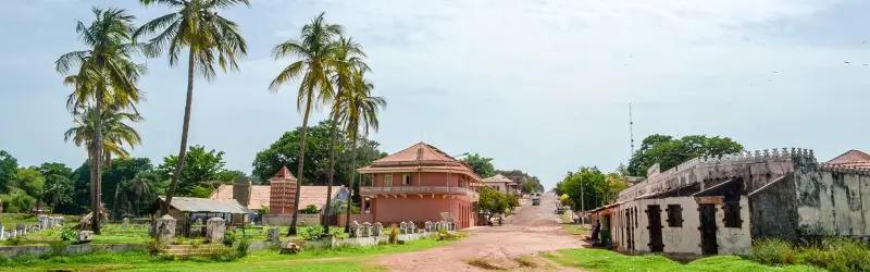 Guinea BissauThe Bijagós Islands and saltwater hippos
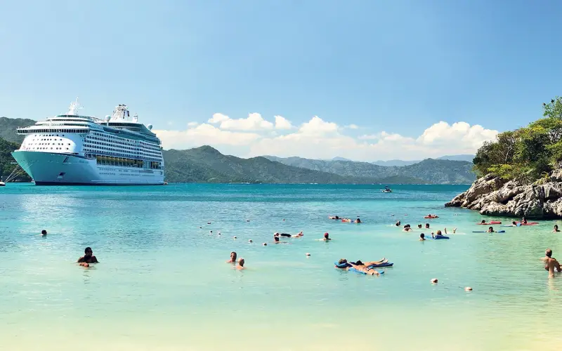 HaitiCitadelle and Caribbean culture
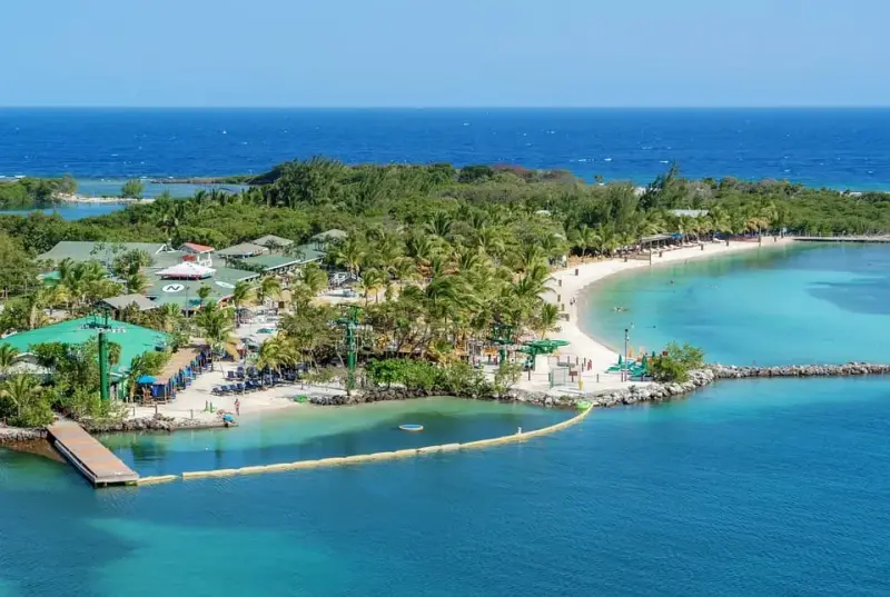 HondurasCopán and the Bay Islands
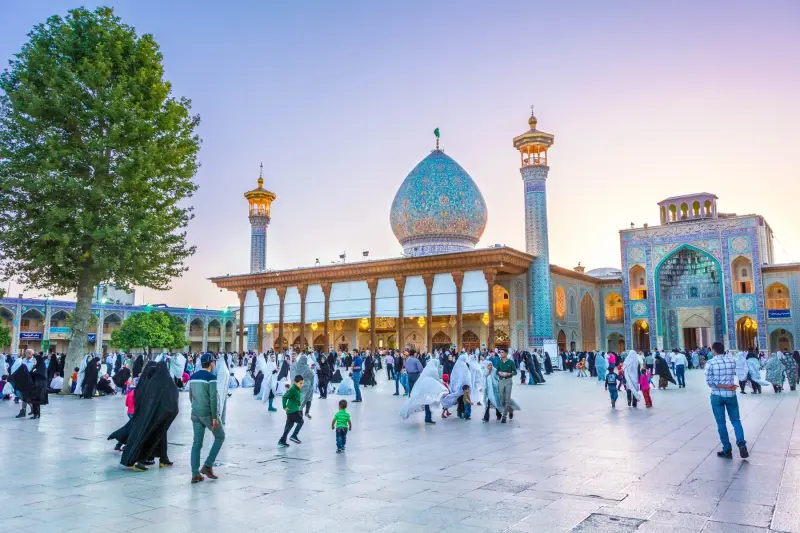 IranPersian palaces, mosques and gardens
 IraqAncient Mesopotamia
 JamaicaReggae, waterfalls and Caribbean beaches
 KosovoMedieval monasteries and mountain valleys
 KyrgyzstanMountain lakes, yurts and nomad culture
 LesothoThe Kingdom in the Sky
 LiberiaRainforest and surf
 LiechtensteinAlpine principality
 LithuaniaBaroque Vilnius, castles and the Curonian Spit
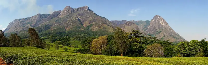 MalawiLake Malawi, the warm heart of Africa
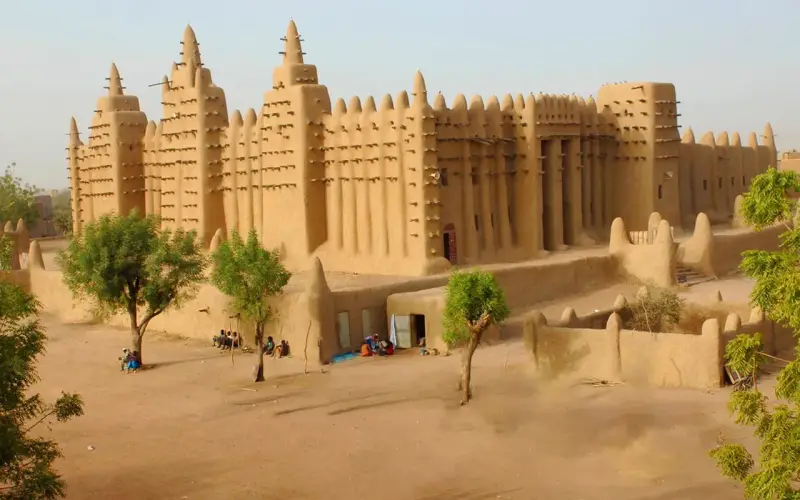 MaliSahel heritage
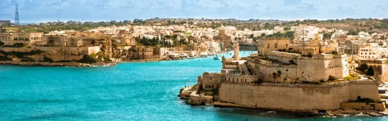 MaltaValletta, ancient temples and blue lagoons
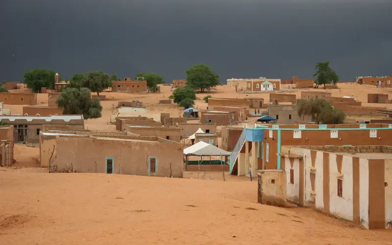 MauritaniaSahara caravan towns and the Iron Ore Train
 MicronesiaNan Madol, Chuuk Lagoon wrecks and Yap's stone money
 MoldovaWine cellars, cave monasteries and countryside
 MonacoGlamour, Grand Prix and the Riviera
 MontenegroBay of Kotor, Adriatic beaches and mountains
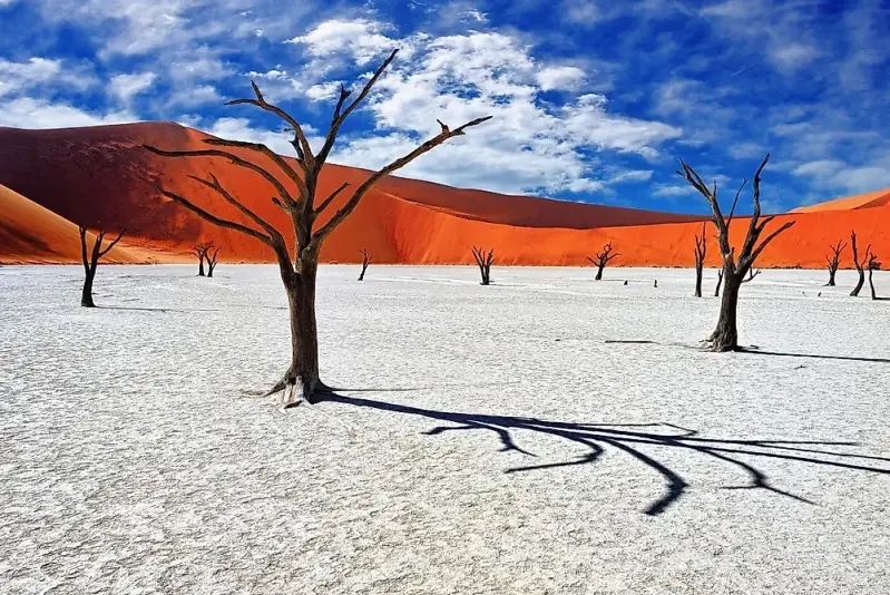 NamibiaRed dunes, Etosha wildlife and desert coast
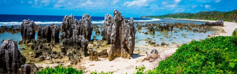 NauruThe world's smallest island republic
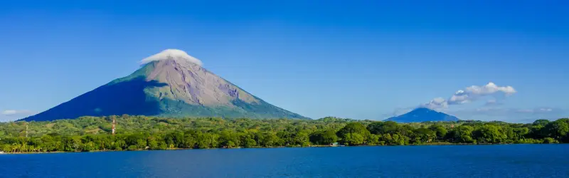 NicaraguaVolcanoes, lakes and colonial Granada
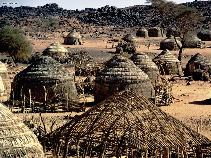 NigerAgadez and the Sahara
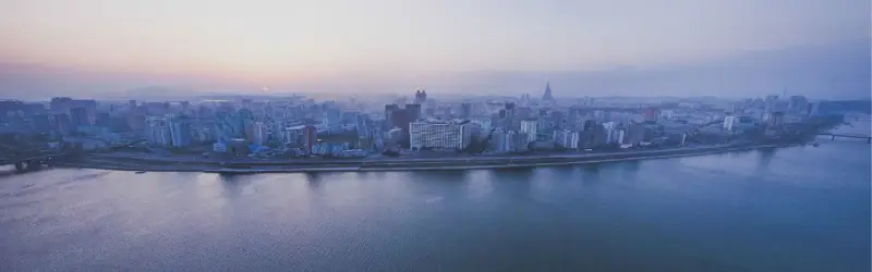 North KoreaThe world's most closed country
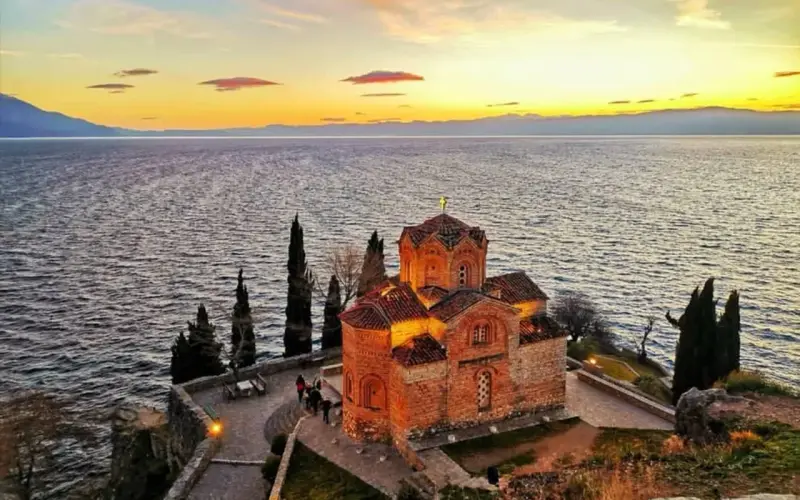 North MacedoniaLake Ohrid, Skopje and Balkan mountains
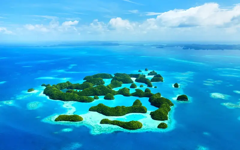 PalauRock Islands, Jellyfish Lake and world-class diving
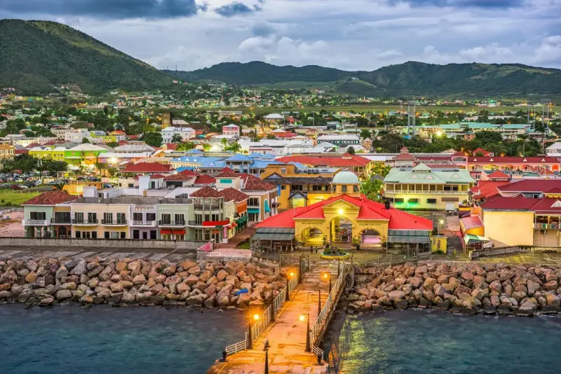 Saint Kitts and NevisBrimstone Hill, scenic railway and twin islands
 Saint Vincent and the GrenadinesSailing the Grenadines and Tobago Cays
 SamoaBeach fales, waterfalls and fa'a Samoa
 Sao Tome and PrincipeCocoa islands on the equator
 SenegalDakar's energy, Gorée Island and the Saloum Delta
 Sierra LeoneBeaches, islands and chimpanzee sanctuaries
 SlovakiaCastles, the High Tatras and Bratislava
 SloveniaLake Bled, Alpine valleys and caves
 Solomon IslandsWWII history, reefs and lagoons
 SomaliaAncient coast and Somaliland rock art
 South SudanThe world's youngest country
 TajikistanThe Pamir Highway and high mountain lakes
 Timor-LesteCoral reefs, mountains and a young nation
 TogoVoodoo markets, Koutammakou and palm-lined coast
 TongaHumpback whales and a Polynesian kingdom
 TurkmenistanThe Door to Hell and marble Ashgabat
 TuvaluRemote Pacific atolls and lagoons
 UgandaGorillas, chimpanzees and the source of the Nile
 UkraineKyiv, Lviv and the Carpathians
 VanuatuActive volcanoes, reefs and island culture
 Vatican CitySt Peter's and the Sistine Chapel
 WalesCastles, coast paths and mountains
 ZimbabweVictoria Falls, Hwange and Great Zimbabwe
MacauPortuguese heritage, Macanese food and Cotai resorts
 Bangladesh773 places to stay, eat or see
Nothing in that category yet.
Top things to do in the Marshall Islands
Lagoons, dive sites and history across the Marshall Islands.
No things to do in Marshall Islands are listed yet. Browse all things to do
Best time to visit the Marshall Islands
December to April brings less rain; May to November is wetter, with the occasional storm.
Trade winds and less rain.
More rain and occasional storms.
Flights are infrequent; plan connections carefully and allow buffer days.
Marshall Islands travel tips
Entry rules by passport, carrying US cash, and how to reach the outer atolls by plane or boat.
Visas and entry
Check your passport
US citizens can visit freely under the Compact of Free Association; some other nationalities receive a visa on arrival, while others must apply in advance.
- Passport validity
- At least 6 months
- Onward ticket
- Required
Getting there
Majuro airport
Amata Kabua International Airport (MAJ) on Majuro has limited flights, mainly via Honolulu, Guam and regional island routes.
- Airport
- Amata Kabua International (MAJ)
Money and costs
Bring US dollars
The US dollar is the currency; carry cash, as cards are accepted only at a few hotels and shops.
- ATMs are few and can run out of cash.
Health and vaccines
Limited medical care
Medical facilities are basic; serious cases are evacuated. Buy insurance with evacuation cover and drink bottled water.
- Dengue
- Outbreaks occur; use repellent
Staying safe
Generally safe
Crime is low but petty theft occurs. Ocean currents can be dangerous outside the lagoons.
- Hospital
- Majuro Hospital; serious cases evacuated
Where to stay
Majuro
Most accommodation is in Majuro; outer atolls have very few guesthouses.
- Majuro
- Small hotels along the lagoon
Getting around
Taxis and boats
Shared taxis run along Majuro's road; outer atolls are reached by small planes or boats.
- Outer islands
- Air Marshall Islands domestic flights
SIM and internet
Local SIM
The national telecom company sells SIM cards in Majuro; data is limited and expensive.
- Coverage
- Majuro and Ebeye
Culture and etiquette
Modest and church-centred
Marshallese culture is conservative and church-centred.
- Dress modestly; women cover thighs
- Ask permission before entering private land or beaches
- Swimwear away from beaches
- Loud activity on Sundays
Things to know before visiting the Marshall Islands
Few flights, a two-plane domestic airline, cash only, and every beach owned by a family.
Why travelers love it
- Majuro lagoon and its quiet islets.
- Diving and snorkelling on pristine reefs.
- Second World War wrecks.
- Bikini Atoll, a UNESCO-listed nuclear test site.
- Traditional stick charts and canoe culture.
Good to know
- Flights are limited and expensive.
- Facilities are basic outside Majuro.
- Rising sea levels threaten the low-lying atolls.
Trip fit
BookingMentor editorial ratings out of 5, based on a first-time visitor's experience.
Majuro weather by month
Majuro's highs stay near 30°C; rain runs from about 194 mm in January to 350 mm in October.
Climate figures are approximate long-term averages for Majuro (NOAA 1991–2020 normals, via Wikipedia).
Packages in Demand
A Journey to Remember
Tours, activities and day trips in and around this destination, with the details you need before booking.
No packages in Marshall Islands are listed yet. Browse all packages
Create Your Custom-Made Trip to Marshall Islands
Traveling to Marshall Islands? Chat with a Local Travel Specialist in Marshall Islands Who Can Help Organize Your Trip.
START HERE
Our Travel Experts are Recommended by



Majuro, Arno and one outer atoll
Every itinerary here starts and usually ends on Majuro, because the capital holds the international airport, almost every hotel and the boats that reach other islands. The atoll is a long, thin ring, with Laura at its western tip about 40 km from the town districts of Delap and Uliga. Fix your flight days first, then fill the gaps between them.
- Four or five days: stay on Majuro. Give one day to the Alele Museum in Uliga, where the stick charts show how navigators memorised swell patterns between atolls, and another to the quiet beaches at Laura and the fruit stands on the way there. Spend a third on Eneko Island, about 45 minutes by boat from Uliga, which Hotel Robert Reimers runs as a day trip or a cottage stay.
- A week: add Arno, roughly a 90-minute boat ride away. The Longar area there is the place for deep-sea fishing, and the Happy Hands Handicraft store in Majuro can help set up the crossing.
- Ten days or more: try one outer atoll by Air Marshall Islands, for example Jaluit, 40 minutes by air. Leave spare days on both sides, because the airline's two planes are often grounded and the fallback, a field-trip ship, needs about 24 hours for the same hop.
Two well-known atolls are hard to visit. Bikini Atoll, on the UNESCO list since 2010 for the ships sunk by the tests and the crater left by the 1954 Castle Bravo blast, is reached only on rare organised expeditions. Kwajalein is a US Department of Defense missile-testing site closed to the public, and civilians arriving on commercial flights are moved straight on to neighbouring Ebeye.
Sort out flights before anything else. United's island-hopper between Honolulu and Guam calls at Majuro three times a week, and Nauru Airlines adds a weekly service that links Tarawa, Nauru and Fiji with Brisbane. Once the dates are fixed, reserve hotels on Majuro; the outer atolls have only a handful of guesthouses.
Dry January, wet October and king tides
Temperature hardly varies in the Marshall Islands. Majuro's highs sit at about 30°C in every month and the nights stay around 26°C, so what changes through the year is rain and wind. January and February are the driest months in the capital, with roughly 194 to 209 mm, while October tops the chart at about 350 mm.
Even the dry season is wet by most standards, so pack a light rain jacket whatever the month.
Latitude matters as much as the calendar. The northern atolls receive about 1,300 mm a year and the southern ones roughly twice that. Drought still hits both chains regularly, and on an outer-atoll trip you should carry bottled water, as local supplies can run short.
Typhoons are less of a worry than further west. Many Pacific storms are born in these waters as tropical storms and only build to full strength after moving on towards the Marianas and the Philippines. The everyday hazard is the sea: high tides and storm surges flood the lowest parts of the atolls, so check tide tables before a beach day on a narrow islet.
Public holidays close government offices and can fill the few seats on domestic flights and boats. Remembrance Day falls on 1 March, Constitution Day on 1 May and Presidents' Day on 17 November. Four more land on Fridays and create long weekends. Fishermen's Day is the first Friday of July and Labor Day the first Friday of September. Manit Day follows on the last Friday of September, and Gospel Day closes the year on the first Friday of December. Around those dates, book boat trips well ahead.
Bwiro, kemem feasts and yokwe
The traditional table rests on the few crops that thrive on coral sand, with fish from the lagoon alongside. Bwiro is fermented breadfruit paste wrapped in banana leaves and baked in an earth oven; prepared this way it keeps for many months. Pandanus is pressed into dried paste too, with island loyalties attached.
In the Ratak chain, Ailuk, Likiep and Mejit make mokwan. Over in the Ralik chain, Ujae is one of the islands producing jããnkun. Rice is now a staple as well. Cooked with coconut it becomes chukuchuk. Coconut water counts as the national drink.
On Majuro, the stands along the road from Ajeltake to Laura are the easiest place to try home cooking and seasonal fruit. In town, Tide Table at the Robert Reimers hotel is the classic stop; ask for the MEC Blackout: tuna seasoned, then seared quickly in a very hot pan. DAR in Uliga does plain diner food and some of the best coffee on the island, and the Marshall Islands Resort serves a Sunday brunch facing the lagoon. Chinese, Filipino, Japanese and Indian kitchens fill in the rest. Places open and close often, so ask locally which ones are good this month.
Food carries social weight. The biggest family party is the kemem, held for a child's first birthday with feasting and song. Guests are often encouraged to take home a household item, and a family's generosity is judged partly by how bare the house looks afterwards. At community events the pastor is served before anyone else, and food is presented to the iroij (chiefs) as a mark of respect. Land passes down the mother's line and remains the main measure of wealth, so even an empty-looking beach belongs to a family. One word covers hello, goodbye and love: yokwe.
Shared taxis on Majuro and Air Marshall Islands
Getting around Majuro is simple, because the atoll has one main road. Taxis cruise it all day; flag one down anywhere, expect to share with other passengers getting on and off along the way, and pay a flat fare for rides within town.
At the airport, on the south side of the atoll, taxis and hotel vans meet arrivals, and most hotels include the transfer with a booking.
For Laura, a bus leaves from the Robert Reimers parking lot roughly once an hour, six days a week, with no service on Sundays. Visitors are sometimes quoted far more than locals for a taxi out there, so settle the price before setting off. Hitchhiking is common and considered safe. Hotel Robert Reimers keeps about a dozen cars if you want to rent a car, and four fuel stations cover the whole atoll. Walkers should watch out for packs of feral dogs in the built-up stretches.
Leaving Majuro means a small plane or a boat. Air Marshall Islands flies to the outer atolls. It has only two aircraft, often out of service for long spells, so treat every domestic booking as provisional. Field-trip ships do the rounds collecting copra and dropping off supplies, and they take passengers at a pace measured in days. Shorter lagoon hops to Eneko or Arno go by boats your hotel arranges.
Kwajalein has no taxis or rental cars for the public. A van takes commercial passengers from Bucholz Army Airfield to the dock for the ferry to Ebeye. United's island-hopper also links Kwajalein with Chuuk, Kosrae, Pohnpei and Guam, which is useful for combining several Micronesian stops.
Travelers are asking
No questions yet about Marshall Islands. Ask the community or our travel team, and the answer will show here once it is published.
Our travel desk answers questions about Marshall Islands
How we research this guide
This page's entry, flight and climate notes for Majuro and the outer atolls are reviewed by our desk; confirm entry rules with the Marshall Islands immigration office and your own government's advisory.
Last updated . Spotted something out of date? Tell us.
We check practical details such as entry rules, seasons and costs against official government and tourism sources.
Before You Go...
Discover Trips & Info
A Travel Network Connection Travelers and locals
Incredible Event & Festival, Don't Miss!
Most Popular Event & Festival of Marshall Islands
Festivals and events in this destination, with dates, venues and ticket details where available.
No upcoming festivals or events in Marshall Islands are listed right now. Browse all events
Subscriber
Popular car hire destinations
Explore more options to hire a car for cheap
Frequently Asked Questions (FAQs)
Visas, money, flights and the nuclear test sites.
General
The Marshall Islands lie in the central Pacific Ocean, between Hawaii and Australia, just north of the equator. The country is made up of two chains of atolls, the Ratak and the Ralik.
Only on rare organised expeditions. Bikini has been on the UNESCO list since 2010 for the ships sunk in the nuclear tests and the crater from the 1954 Castle Bravo blast.
No, Kwajalein is a US Department of Defense missile-testing site closed to the public. Civilians arriving on commercial flights are taken straight to the ferry for Ebeye.
Shared taxis run along the main road for a flat in-town fare. A bus to Laura leaves about hourly from the Robert Reimers car park, except on Sundays.
Yokwe is the Marshallese word for hello, goodbye and love.
Marshall Islands is best known for:
- Majuro lagoon and its quiet islets
- Diving and snorkelling on pristine reefs
- Second World War wrecks
- Bikini Atoll, a UNESCO-listed nuclear test site
- Traditional stick charts and canoe culture
Prices & payment
The Marshall Islands use the US dollar. Carry cash, as cards work only at a few hotels and shops and the few ATMs can run out.
Daily travel costs in Marshall Islands are moderate to high. Few hotels; most goods are imported.
Getting there
Fly to Amata Kabua International Airport (MAJ) on Majuro. United's island-hopper between Honolulu and Guam calls three times a week, and Nauru Airlines adds a weekly service via Tarawa and Nauru.
Not very. Air Marshall Islands has only two planes, often grounded for long spells, so leave spare days on both sides of an outer-atoll trip.
Visa & documents
It depends on your passport. US citizens visit freely under the Compact of Free Association, some nationalities get a visa on arrival and others must apply ahead; you need six months' passport validity and an onward ticket.
Timing & weather
January and February are the driest months on Majuro, at roughly 194 to 209 mm of rain. October is the wettest, at about 350 mm.
September is the warmest month in Marshall Islands, with average highs of 31°C, and January the coolest, with lows of 26°C. October is the wettest month, at about 350 mm of rain; February is the driest. Majuro's highs stay near 30°C; rain runs from about 194 mm in January to 350 mm in October.
Booking
Four or five days covers Majuro, the Alele Museum, Laura and Eneko Island. A week adds Arno, and ten days or more allows an outer atoll such as Jaluit.
Health & safety
No, drink bottled water. Dengue outbreaks occur and medical care is basic, so buy insurance with evacuation cover.
